Muirlea, Queensland
| Muirlea Ipswich, Queensland | |||||||||||||||
|---|---|---|---|---|---|---|---|---|---|---|---|---|---|---|---|
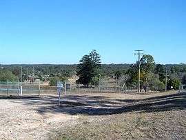 Pine Mountain Road, 2014 | |||||||||||||||
| Population | 190 (2016 census)[1] | ||||||||||||||
| Postcode(s) | 4306 | ||||||||||||||
| Location | |||||||||||||||
| LGA(s) | City of Ipswich | ||||||||||||||
| State electorate(s) | Ipswich West | ||||||||||||||
| Federal Division(s) | Blair | ||||||||||||||
| |||||||||||||||
Muirlea is a suburb of Ipswich, Queensland, Australia. Part of the north west boundary of the suburb is marked by the Brisbane River. The southern boundary aligns with the Warrego Highway. At the 2016 Australian Census the suburb recorded a population of 190.[1]
References
- 1 2 Australian Bureau of Statistics (27 June 2017). "Muirlea (State Suburb)". 2016 Census QuickStats. Retrieved 25 March 2018.

- ↑ Peter Foley (20 June 2013). "Fire ants detected at Muirlea". The Queensland Times. Retrieved 4 August 2014.
Coordinates: 27°34′S 152°44′E / 27.567°S 152.733°E
This article is issued from
Wikipedia.
The text is licensed under Creative Commons - Attribution - Sharealike.
Additional terms may apply for the media files.