Rural Municipality of Browning No. 34
The Rural Municipality of Browning No. 34 (2016 population: 375) is a rural municipality (RM) in the Canadian province of Saskatchewan within Census Division No. 1 and SARM Division No. 1.
Browning No. 34 | |
|---|---|
| Rural Municipality of Browning No. 34 | |
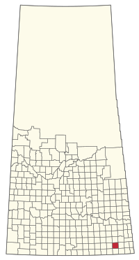 Location of the RM of Browning No. 34 in Saskatchewan | |
| Coordinates: 49.389°N 102.650°W[1] | |
| Country | Canada |
| Province | Saskatchewan |
| Census division | 1 |
| SARM division | 1 |
| Federal riding | Souris—Moose Mountain |
| Provincial riding | Cannington |
| Formed[2] | December 11, 1911 |
| Government | |
| • Reeve | Pius Loustel |
| • Governing body | RM of Browning No. 34 Council |
| • Administrator | Dena Scott |
| • Office location | Lampman |
| Area (2016)[4] | |
| • Land | 823.38 km2 (317.91 sq mi) |
| Population (2016)[4] | |
| • Total | 375 |
| • Density | 0.5/km2 (1/sq mi) |
| Time zone | CST |
| • Summer (DST) | CST |
| Postal code | S0C 1N0 |
| Area code(s) | 306 and 639 |
| Website | Official website |
History
The RM of Browning No. 34 incorporated as a rural municipality on December 11, 1911.[2] In 1912, the RM had a population of 1,800.[5]
Demographics
In the 2016 Census of Population conducted by Statistics Canada, the RM of Browning No. 34 recorded a population of 375 living in 144 of its 163 total private dwellings, a -6% change from its 2011 population of 399. With a land area of 823.38 km2 (317.91 sq mi), it had a population density of 0.5/km2 (1.2/sq mi) in 2016.[4]
In the 2011 Census of Population, the RM of Browning No. 34 recorded a population of 399, a -6.3% change from its 2006 population of 426. With a land area of 823.39 km2 (317.91 sq mi), it had a population density of 0.5/km2 (1.3/sq mi) in 2011.[8]
Government
The RM of Browning No. 34 is governed by an elected municipal council and an appointed administrator that meets on the second Wednesday of every month.[3] The reeve of the RM is Pius Loustel while its administrator is Dena Scott.[3] The RM's office is located in Lampman.[3]
Transportation
The Lampman Airport is located within the rural municipality.
References
- "Pre-packaged CSV files - CGN, Canada/Province/Territory (cgn_sk_csv_eng.zip)". Government of Canada. July 24, 2019. Retrieved May 23, 2020.
- "Rural Municipality Incorporations (Alphabetical)". Saskatchewan Ministry of Municipal Affairs. Archived from the original on April 21, 2011. Retrieved May 9, 2020.
- "Municipality Details: RM of Browning No. 34". Government of Saskatchewan. Retrieved May 21, 2020.
- "Population and dwelling counts, for Canada, provinces and territories, and census subdivisions (municipalities), 2016 and 2011 censuses – 100% data (Saskatchewan)". Statistics Canada. February 8, 2017. Retrieved May 1, 2020.
- Sask Biz
- "Saskatchewan Census Population" (PDF). Saskatchewan Bureau of Statistics. Archived from the original (PDF) on September 24, 2015. Retrieved May 9, 2020.
- "Saskatchewan Census Population". Saskatchewan Bureau of Statistics. Retrieved May 9, 2020.
- "Population and dwelling counts, for Canada, provinces and territories, and census subdivisions (municipalities), 2011 and 2006 censuses (Saskatchewan)". Statistics Canada. June 3, 2019. Retrieved May 1, 2020.
| Cities | 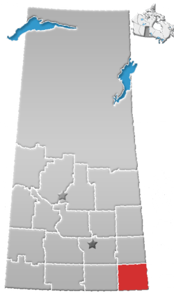 | ||||
|---|---|---|---|---|---|
| Towns | |||||
| Villages | |||||
| Rural municipalities | |||||
| First Nations |
| ||||
| Indian reserves | |||||
| Unincorporated communities |
| ||||