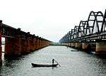
Wardha River
| Wardha | |
|---|---|
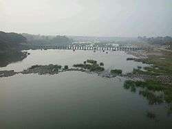 Wardha river at Pulgaon | |
| Country | India |
| Physical characteristics | |
| Main source | Multai |
| River mouth | Pranahita |
| Length | 528 km (328 mi) |
| Basin features | |
| Progression | Madhya Pradesh, Maharashtra, Telangana |
| Tributaries | |
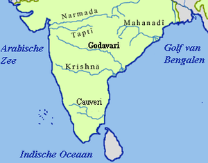
The Wardha River[1] (Varada River,[2] is one of the biggest rivers in Vidarbha region in India. The Wardha River joins the Wainganga River south of Chamorshi and forms the Pranahita River at Adilabad District, Telangana.[3]
Origin
Wardha originates at an altitude of 777 meters Satpura Range in village khairwani near Multai, Betul District of Madhya Pradesh..........
Course
From the origin it flows 32 km in Madhya Pradesh and then enters into Maharashtra.after travelling 528 km, it joins the Wainganga forming the Pranahita, which ultimately into the Godavari River.
Tributaries
Kar, Wena, Jam, Erai are the left tributaries. Madu, Bembla, Penganga are the right tributaries.
Dams
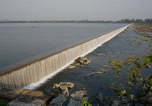
A huge dam Upper Wardha Dam is built on Wardha river near Morshi. It is considered a lifeline for the city of Amravati and Morshi and Warud Talukas considered as California of India for its orange plantations.[4] A dam on Bembala river under construction, to be considering a lifeline for part of Yavatmal Dist.
A Lower Wardha Dam is also being constructed near Dhanodi village.
Notes
- ↑ Wardha River (Approved) at GEOnet Names Server, United States National Geospatial-Intelligence Agency
- ↑ Varadā (Variant) at GEOnet Names Server, United States National Geospatial-Intelligence Agency
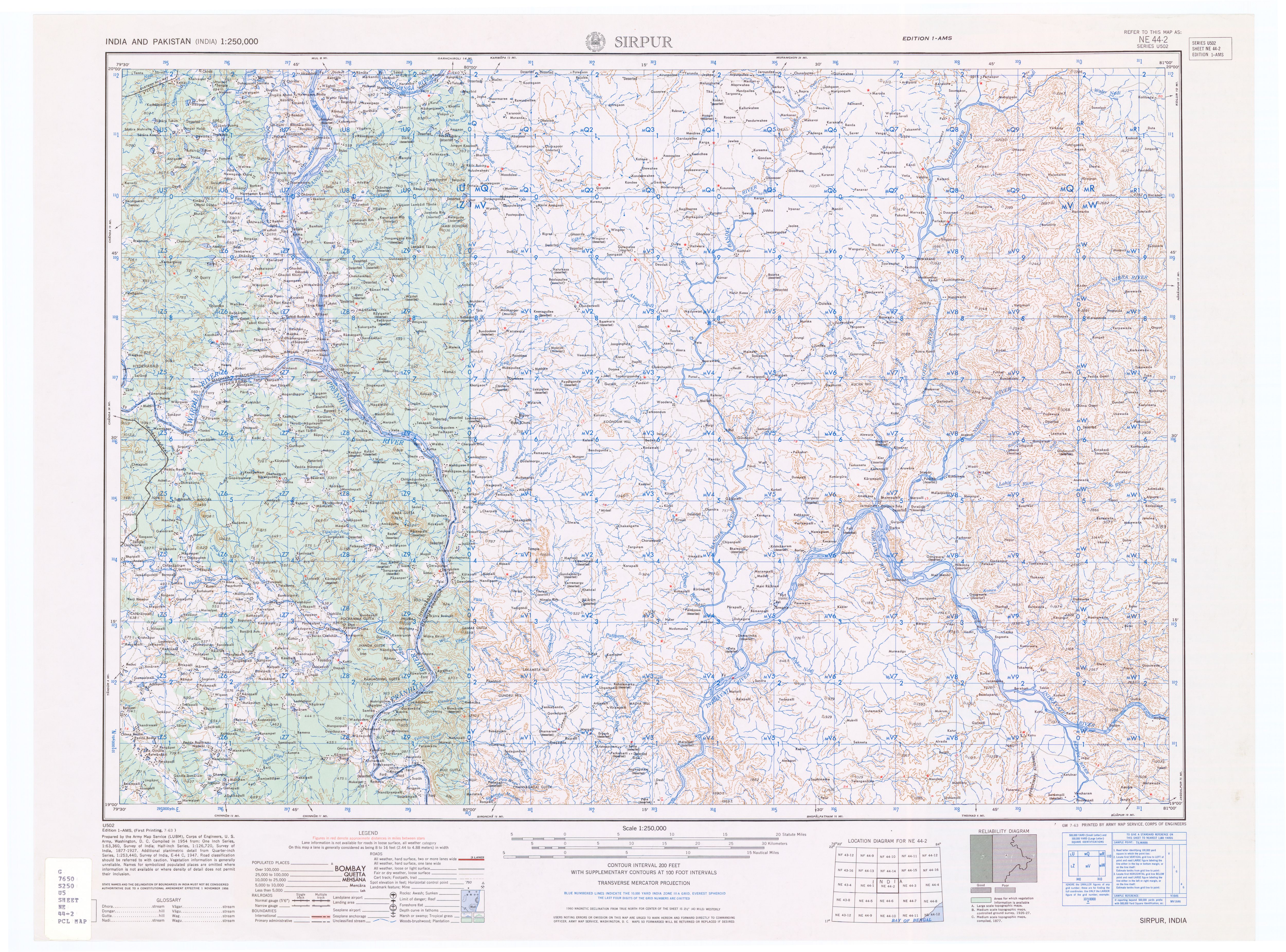
- ↑ Topographic map "Sirpur, India, NE-44-02, 1:250,000" Series U502, US Army Map Service, July 1963
- ↑ http://www.vidc.gov.in/ceamt/pro/UpperWardha/Index.htm
External links
| Wikimedia Commons has media related to Wardha River. |
Coordinates: 19°36′01″N 79°47′20″E / 19.60028°N 79.78889°E