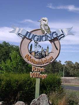
Jugiong
| Jugiong New South Wales | |||||||||||||||
|---|---|---|---|---|---|---|---|---|---|---|---|---|---|---|---|
 Entering Jugiong at the old Hume Highway | |||||||||||||||
|
Jugiong | |||||||||||||||
| Coordinates | 34°49′23″S 148°19′29″E / 34.82306°S 148.32472°ECoordinates: 34°49′23″S 148°19′29″E / 34.82306°S 148.32472°E | ||||||||||||||
| Population | 222 (2016 census)[1] | ||||||||||||||
| Postcode(s) | 2726 | ||||||||||||||
| Elevation | 303 m (994 ft) | ||||||||||||||
| Location | |||||||||||||||
| LGA(s) | Hilltops Council | ||||||||||||||
| Region | South West Slopes | ||||||||||||||
| County | Harden | ||||||||||||||
| Parish | Jugiong | ||||||||||||||
| State electorate(s) | Cootamundra | ||||||||||||||
| Federal Division(s) | Hume | ||||||||||||||
| |||||||||||||||
Jugiong is a village community on the banks of the Murrumbidgee River, in the Hilltops Council Local Government area.[2][3] It is situated just off the Hume Highway, by road, about 30 kilometres southwest from Bookham and 40 kilometres northeast from Gundagai. At the 2016 census, Jugiong had a population of 222 people.[1]
It was first settled in the 1820s when Henry O'Brien started grazing sheep on the Jugiong Run.
Bill Bovill working closely with Trevor Banks was the first artist to release a song about Jugiong. Australian cricketer turned commentator Richie Benaud spent part of his early life there.
Jugiong Post Office opened on 1 October 1856.[4]
Notes
- 1 2 Australian Bureau of Statistics (31 October 2012). "Jugiong (State Suburb)". 2011 Census QuickStats. Retrieved 1 April 2018.

- ↑ "Jugiong". Geographical Names Register (GNR) of NSW. Geographical Names Board of New South Wales. Retrieved 1 April 2018.
- ↑ "Jugiong". OpenStreetMap. Retrieved 1 April 2018.
- ↑ Premier Postal History, Post Office List, retrieved 2009-06-11
| Wikimedia Commons has media related to Jugiong. |
This article is issued from
Wikipedia.
The text is licensed under Creative Commons - Attribution - Sharealike.
Additional terms may apply for the media files.