Murringo
| Murringo New South Wales | |
|---|---|
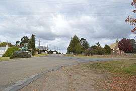 Main street of Murringo | |
|
Murringo | |
| Coordinates | 34°17′0″S 148°32′0″E / 34.28333°S 148.53333°ECoordinates: 34°17′0″S 148°32′0″E / 34.28333°S 148.53333°E |
| Population | 322 (2011 census)[1] |
| Postcode(s) | 2586 |
| Location | |
| LGA(s) | Hilltops Council |
| State electorate(s) | Cootamundra |
| Federal Division(s) | Hume |
Murringo is a small village in the southwestern slopes of New South Wales, Australia in Hilltops Council. At the 2006 census, Murringo and the surrounding area had a population of 322.[1]
History
Marengo Post Office opened on 1 January 1857 and was renamed Murringo in 1926.[2]
References
- 1 2 Australian Bureau of Statistics (31 October 2012). "Murringo". 2011 Census QuickStats. Retrieved 26 May 2013.

- ↑ Premier Postal History. "Post Office List". Premier Postal Auctions. Retrieved 2011-05-26.
External links
![]()
This article is issued from
Wikipedia.
The text is licensed under Creative Commons - Attribution - Sharealike.
Additional terms may apply for the media files.