French Park, New South Wales
| French Park New South Wales | |
|---|---|
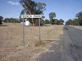 Entering French Park | |
|
French Park | |
| Coordinates | 35°16′S 146°56′E / 35.267°S 146.933°ECoordinates: 35°16′S 146°56′E / 35.267°S 146.933°E |
| Postcode(s) | 2655 |
| Elevation | 128 m (420 ft) |
| Location |
|
| LGA(s) | Lockhart Shire |
| County | Mitchell |
| State electorate(s) | Wagga Wagga |
French Park is a rural village community in the central east part of the Riverina. It is situated by road, about 8 kilometres east from Milbrulong and 15 kilometres west from Tootool.
French Park Post Office opened on 16 August 1884 and closed in 1966.[1]
French Park railway station
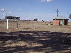
French Park - site of old railway siding

French Park Railway Station Sign
| Preceding station | NSW Branch lines | Following station | ||
|---|---|---|---|---|
towards Oaklands | Oaklands Line | towards The Rock |
Notes and references
- ↑ Premier Postal History, Post Office List, retrieved 2009-06-11
| Wikimedia Commons has media related to French Park, New South Wales. |
This article is issued from
Wikipedia.
The text is licensed under Creative Commons - Attribution - Sharealike.
Additional terms may apply for the media files.