Bungowannah
| Bungowannah New South Wales | |
|---|---|
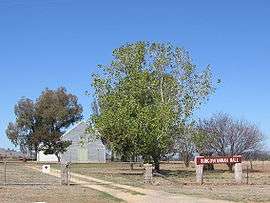 Community Hall | |
|
Bungowannah | |
| Coordinates | 36°01′S 146°46′E / 36.017°S 146.767°ECoordinates: 36°01′S 146°46′E / 36.017°S 146.767°E |
| Postcode(s) | 2640 |
| Location | |
| County | Hume |
| State electorate(s) | Albury |
Bungowannah is a locality in the Riverina region of New South Wales, Australia. The locality is on the Riverina Highway, about 16 kilometres (9.9 mi) north west from Albury and 8 kilometres (5.0 mi) south east from Howlong.
Bungowannah Post Office opened on 1 December 1867,[2] was closed between 1906 and 1918, and finally closed in 1951.[3]
References
- ↑ Travelmate Archived March 25, 2007, at the Wayback Machine.
- ↑ "Advertising". The Empire. Sydney. 3 December 1867. p. 8. Retrieved 27 August 2012 – via National Library of Australia.
- ↑ Premier Postal History, Post Office List, retrieved 2009-06-11
External links
![]()
This article is issued from
Wikipedia.
The text is licensed under Creative Commons - Attribution - Sharealike.
Additional terms may apply for the media files.