González Island
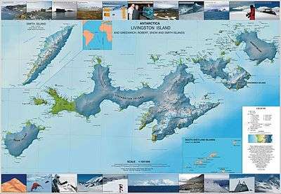
 Topographic map of Livingston Island, Greenwich, Robert, Snow and Smith Islands. | |
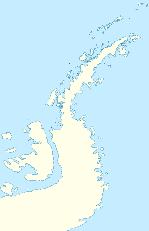
 González Island Location of González Island  González Island González Island (Antarctica) | |
| Geography | |
|---|---|
| Location | Antarctica |
| Coordinates | 62°29′S 59°40′W / 62.483°S 59.667°WCoordinates: 62°29′S 59°40′W / 62.483°S 59.667°W |
| Administration | |
| Administered under the Antarctic Treaty System | |
| Demographics | |
| Population | Uninhabited |
González Island is a small island on the south side of the entrance to Iquique Cove, Discovery Bay, Greenwich Island in the South Shetland Islands. On its west side the island is linked by a split to a smaller island, which is covered at high tide. The island was charted by the Chilean Antarctic Expedition of 1947, and commanded by Capitan de Navio Federico Guesalaga Toro, who named it after Ernesto González Navarrete, captain of the ship Iquique on the expedition.[1]
See also
Maps
- L.L. Ivanov. Antarctica: Livingston Island and Greenwich, Robert, Snow and Smith Islands. Scale 1:120000 topographic map. Troyan: Manfred Wörner Foundation, 2009. ISBN 978-954-92032-6-4
References
- ↑ "González Island". Geographic Names Information System. United States Geological Survey. Retrieved 2012-04-29.
![]()
This article is issued from
Wikipedia.
The text is licensed under Creative Commons - Attribution - Sharealike.
Additional terms may apply for the media files.
.svg.png)