Stackpole Rocks
 Location of Byers Peninsula on Livingston Island in the South Shetland Islands | |
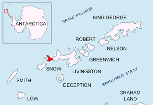
 Stackpole Rocks Location of Stackpole Rocks  Stackpole Rocks Stackpole Rocks (Antarctica) | |
| Geography | |
|---|---|
| Location | Antarctica |
| Coordinates | 62°40′40.8″S 60°57′26.6″W / 62.678000°S 60.957389°W |
| Archipelago | South Shetland Islands |
| Administration | |
| Administered under the Antarctic Treaty System | |
| Demographics | |
| Population | uninhabited |
Stackpole Rocks is a group of rocks, the largest of them linked by a spit to the east extremity of South Beaches in Byers Peninsula, Livingston Island in the South Shetland Islands, Antarctica. The area was visited by early 19th century sealers.
The feature is named after Edouard Stackpole, Curator of the Marine Historical Association, Mystic, Connecticut, historian of early American whaling and sealing in the South Shetlands.
Location
The rocks are centred at 62°40′40.8″S 60°57′26.6″W / 62.678000°S 60.957389°W which is 6.83 km (4.24 mi) east of Nikopol Point, 3.38 km (2.10 mi) southeast of Dometa Point, 1.4 km (0.87 mi) west-southwest of Rish Point and 5.36 km (3.33 mi) west-northwest of Elephant Point (British mapping in 1968, Chilean in 1971, Argentine in 1980, and Bulgarian in 2009).
See also
Maps
- L.L. Ivanov. Antarctica: Livingston Island and Greenwich, Robert, Snow and Smith Islands. Scale 1:120000 topographic map. Troyan: Manfred Wörner Foundation, 2009. ISBN 978-954-92032-6-4
References
External links
