Forcelles-Saint-Gorgon
| Forcelles-Saint-Gorgon | |
|---|---|
| Commune | |
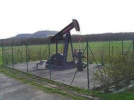 A pumpjack in Forcelles Saint-Gorgon | |
 Forcelles-Saint-Gorgon Location within Grand Est region  Forcelles-Saint-Gorgon | |
| Coordinates: 48°27′25″N 6°06′07″E / 48.4569°N 6.1019°ECoordinates: 48°27′25″N 6°06′07″E / 48.4569°N 6.1019°E | |
| Country | France |
| Region | Grand Est |
| Department | Meurthe-et-Moselle |
| Arrondissement | Nancy |
| Canton | Meine au Saintois |
| Intercommunality | Communauté de communes du Saintois |
| Government | |
| • Mayor (2008–2014) | Michel Merlin |
| Area1 | 5.36 km2 (2.07 sq mi) |
| Population (2008)2 | 160 |
| • Density | 30/km2 (77/sq mi) |
| Time zone | UTC+1 (CET) |
| • Summer (DST) | UTC+2 (CEST) |
| INSEE/Postal code | 54203 /54330 |
| Elevation |
288–338 m (945–1,109 ft) (avg. 323 m or 1,060 ft) |
|
1 French Land Register data, which excludes lakes, ponds, glaciers > 1 km2 (0.386 sq mi or 247 acres) and river estuaries. 2 Population without double counting: residents of multiple communes (e.g., students and military personnel) only counted once. | |
Forcelles-Saint-Gorgon is a commune in the Meurthe-et-Moselle department in north-eastern France.
See also
| Wikimedia Commons has media related to Forcelles-Saint-Gorgon. |
This article is issued from
Wikipedia.
The text is licensed under Creative Commons - Attribution - Sharealike.
Additional terms may apply for the media files.