Čabranka
| Čabranka | |
|---|---|
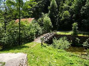 A wooden footbridge over the Čabranka | |
| Country | Croatia, Slovenia |
| Physical characteristics | |
| River mouth |
Kupa 45°31′32″N 14°42′01″E / 45.5255°N 14.7003°ECoordinates: 45°31′32″N 14°42′01″E / 45.5255°N 14.7003°E |
| Basin features | |
| Progression | Kupa→ Sava→ Danube→ Black Sea |
The Čabranka is a small river on the border between Slovenia and Croatia. It is 17.5 kilometres (10.9 mi) long and is a left tributary of the Kupa River (Croatian: Kupa, Slovene: Kolpa).[1] Its source is just west of the settlement of Podplanina in the Municipality of Loški Potok in southern Slovenia and just north of the Croatian village of Čabar, from which it gets its name.[2] It joins the Kupa at Osilnica.
See also
References
- ↑ "Čabranka". Croatian Encyclopedia (in Croatian). Miroslav Krleža Institute of Lexicography. Retrieved 26 July 2018.
- ↑ Gorski Kotar site
External links
Hydrography of Slovenia | ||
|---|---|---|
| Rivers |
|  |
| Streams | ||
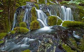
| Waterfalls | ||
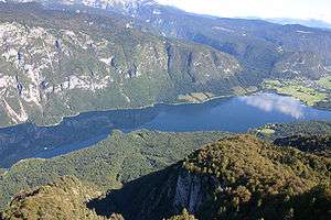
| Lakes | ||
| Wetlands | ||
| Sea | ||
| River valleys |
| |
| Canyons and gorges |
| |
This article is issued from
Wikipedia.
The text is licensed under Creative Commons - Attribution - Sharealike.
Additional terms may apply for the media files.