Iška
| Iška | |
|---|---|
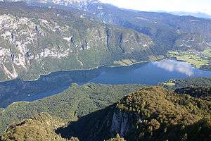
 The Iška Gorge | |
| Country | Slovenia |
| Physical characteristics | |
| Main source |
Bloke Plateau 760 m (2,490 ft) [1] |
| River mouth |
Ljubljanica 287 m (942 ft) [1] 46°00′00″N 14°28′03″E / 45.9999°N 14.4675°ECoordinates: 46°00′00″N 14°28′03″E / 45.9999°N 14.4675°E |
| Length | 31 km (19 mi) [1] |
| Basin features | |
| Progression | Ljubljanica→ Sava→ Danube→ Black Sea |
| Basin size | 86 km2 (33 sq mi) [1] |
The Iška (pronounced [ˈiːʃka]) is a river of central Slovenia. Part of the river valley—the Iška Gorge[2] or Iška Canyon[3] (Slovene: Iški vintgar)—separates Lower Carniola from Inner Carniola.[2]:82[4] The river is 31 km (19 mi) long.[1] After flowing past Strahomer, the river follows an almost straight line and joins the Ljubljanica River, and therefore belongs to the Sava and Black Sea basins.
The part of the river between Iška Vas and Strahomer disappeared underground during the 2010 Slovenia floods, on the night of 20 September 2010.[5]
References
- 1 2 3 4 5 Rivers, longer than 25 km, and their catchment areas, Statistical Office of the Republic of Slovenia
- 1 2 Strgar, Vinko. 1966. "Prispevek k poznavanju rastlinstva v soteski Iške / A Contribution to Our Knowledge of the Vegetation of the Iška Gorge." Varstvo narave 5: 81–95.
- ↑ Kušar, Domen. 2008. "The Impact of Natural Disasters on Buildings' Architectural Styles." Acta geographica Slovenica 48(1): 93-120, p. 101.
- ↑ Ljubljansko barje krajinski park. Iški vintgar. (in Slovene)
- ↑ "Izginila je reka Iška" [Iška River Disappears] (in Slovenian). Siol Slovenija. 23 September 2010. Retrieved 5 February 2011.
External links

- Condition of the Iška - graphs of water level and flow data for the past 30 days (taken in Iška Vas by ARSO)
Hydrography of Slovenia | ||
|---|---|---|
| Rivers |
|  |
| Streams | ||
| Waterfalls | ||
| Lakes | ||
| Wetlands | ||
| Sea | ||
| River valleys |
| |
| Canyons and gorges |
| |
This article is issued from
Wikipedia.
The text is licensed under Creative Commons - Attribution - Sharealike.
Additional terms may apply for the media files.