Ščavnica
| Ščavnica | |
|---|---|
| Country | Slovenia |
| Physical characteristics | |
| River mouth |
Mur 46°31′25″N 16°18′13″E / 46.5237°N 16.3035°ECoordinates: 46°31′25″N 16°18′13″E / 46.5237°N 16.3035°E |
| Length | 56 km (35 mi) [1] |
| Basin features | |
| Progression | Mur→ Drava→ Danube→ Black Sea |
| Basin size | 288 km2 (111 sq mi) [1] |

The average monthly discharge of the Ščavnica at Pristava (1971–2000)
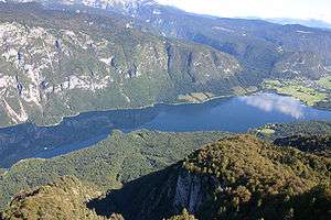
The Ščavnica (pronounced [ˈʃtʃaːu̯nitsa]; German: Stainz) is a 56-kilometer (35 mi) river in Styria, Slovenia.[1] It sources near Zgornja Velka and flows along the Slovene Hills towards the southeast. It passes Negova Castle and Sveti Jurij ob Ščavnici, traverses Lake Gajševci (Slovene: Gajševsko jezero) and the town of Ljutomer, and finally joins the Mur from the right in Razkrižje.
The Ščavnica is one of the most heavily polluted rivers in Slovenia.
References
External links
- Condition of Ščavnica - graphs, in the following order, of water level, flow and temperature data for the past 30 days (taken in Pristava by ARSO)
Hydrography of Slovenia | ||
|---|---|---|
| Rivers |
|  |
| Streams | ||
| Waterfalls | ||
| Lakes | ||
| Wetlands | ||
| Sea | ||
| River valleys |
| |
| Canyons and gorges |
| |
This article is issued from
Wikipedia.
The text is licensed under Creative Commons - Attribution - Sharealike.
Additional terms may apply for the media files.