São Lourenço do Sul
São Lourenço do Sul is a Brazilian municipality in the state of Rio Grande do Sul. The municipality had 43111 inhabitants in the last Census (2010). Its population in 2016 was estimated in 44,561 inhabitants.[1] It is located at the west bank of the big lagoon Lagoa dos Patos.
São Lourenço do Sul | |
|---|---|
 Flag  Seal | |
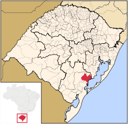 Location within Rio Grande do Sul | |
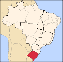
 São Lourenço do Sul Location in Brazil | |
| Coordinates: 31°22′02.14″S 51°58′46.37″W | |
| Country | |
| Region | South |
| State | Rio Grande do Sul |
| Founded | 26 April 1884 |
| Government | |
| • Mayor | Rudinei Harter (PDT); (2017–2020) |
| Area | |
| • Total | 2,036.125 km2 (786.152 sq mi) |
| Population (2016 (estimate)) | |
| • Total | 44,561 |
| • Density | 22/km2 (57/sq mi) |
| Time zone | UTC-3 (UTC-3) |
| • Summer (DST) | UTC-2 (UTC-2) |
| Postal Code | 96170-000 |
| Website | http://www.saolourencodosul.rs.gov.br/ |
The municipality contains part of the 7,993 hectares (19,750 acres) Camaquã State Park, created in 1975.[2]
External links
Government (in Portuguese)
Coordinates
References
- http://cidades.ibge.gov.br/xtras/perfil.php?codmun=431880
- Parque Estadual do Camaquã (in Portuguese), SEMA: Secretaria do Ambiente e Desenvolvimento Sustentável (RS), retrieved 2017-01-22
This article is issued from Wikipedia. The text is licensed under Creative Commons - Attribution - Sharealike. Additional terms may apply for the media files.