Garruchos, Rio Grande do Sul
Garruchos is a municipality in the western part of the state of Rio Grande do Sul, Brazil. The population is 3,219 (2015 est.) in an area of 799.85 km².[1] Its elevation is 69 m by the Uruguay River. It is located 627 km west of the state capital of Porto Alegre, northeast of Alegrete.
Garruchos | |
|---|---|
Municipality | |
 Coat of arms | |
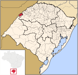 Location in Rio Grande do Sul state | |
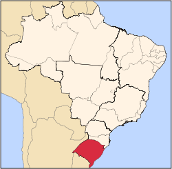
 Garruchos Location in Brazil | |
| Coordinates: 28°11′2″S 55°38′20″W | |
| Country | |
| State | Rio Grande do Sul |
| Meso-region | Sudoeste Rio-Grandense |
| Micro-region | Campanha Ocidental |
| Area | |
| • Total | 799.85 km2 (308.82 sq mi) |
| Population (2015) | |
| • Total | 3,219 |
| • Density | 4.0/km2 (10/sq mi) |
| Time zone | UTC-3 (BRT) |
| • Summer (DST) | UTC-2 (BRST) |
| Postal code | 97685-xxx |
| Website | www |
The town is situated by the Uruguay River which forms the border with Argentina to the west; an Argentine settlement with the same name, Garruchos, is on the other side.
The municipality would be partially flooded by the proposed Garabí Dam.[2]
References
- Instituto Brasileiro de Geografia e Estatística
- Eletrobras apresenta Garabi-Panambi a prefeitos (in Portuguese), Eletrobras CGTEE, 7 April 2014, retrieved 2016-11-11
External links
- http://www.citybrazil.com.br/rs/garruchos/ (in Portuguese)
This article is issued from Wikipedia. The text is licensed under Creative Commons - Attribution - Sharealike. Additional terms may apply for the media files.