Wuqia County
| Wuqia County 乌恰县 ئۇلۇغچات ناھىيىسى | |
|---|---|
| County | |
.png) Location of Ulugqat (pink) in the Kyrgyz Autonomous County Kizilsu (yellow) | |
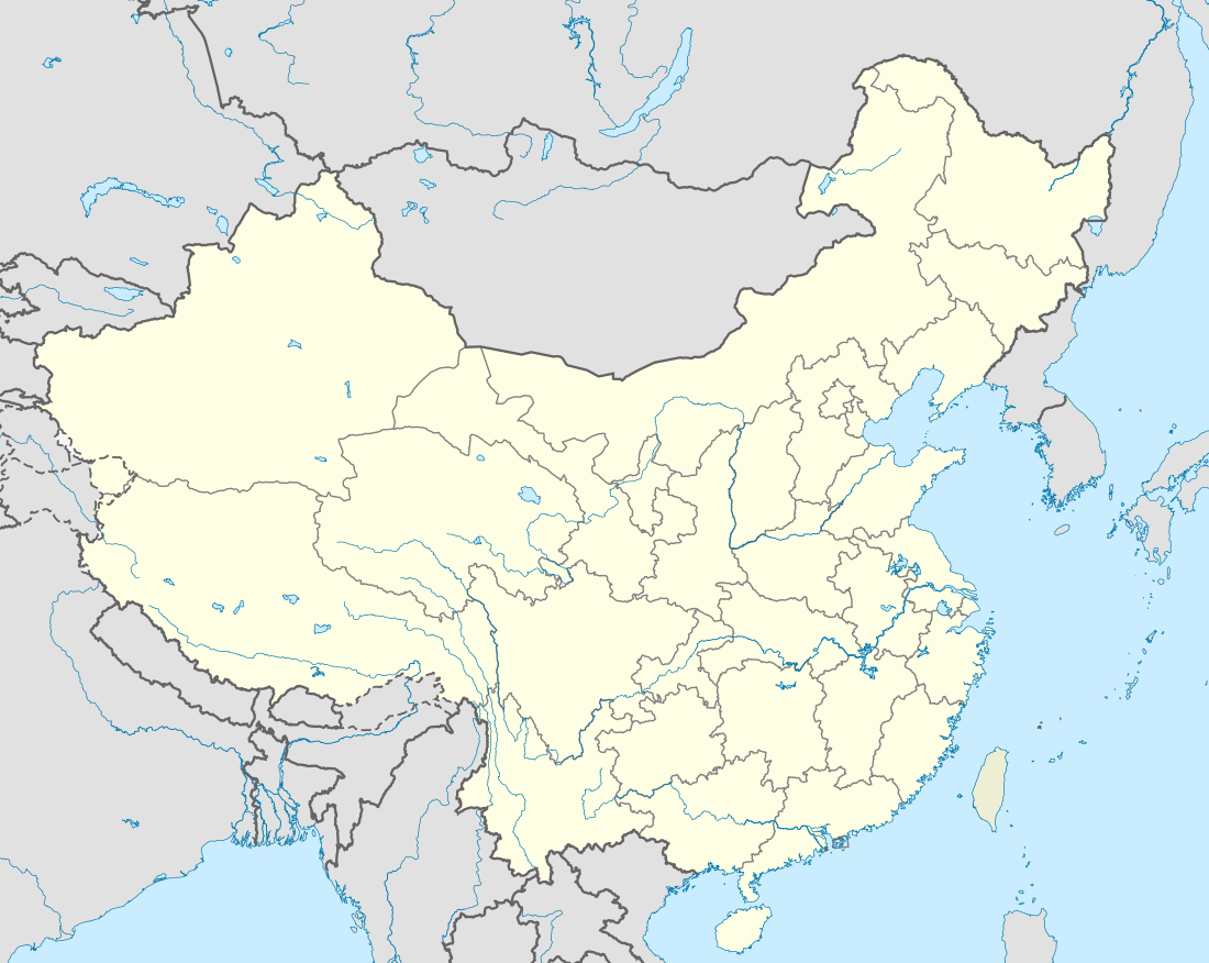 Wuqia County Location in China | |
| Coordinates: 39°43′04″N 75°15′20″E / 39.71778°N 75.25556°ECoordinates: 39°43′04″N 75°15′20″E / 39.71778°N 75.25556°E | |
| Country | China |
| Province | Xinjiang |
| Prefecture | Kizilsu (Kirghiz) |
| Area | |
| • Total | 18,758 km2 (7,243 sq mi) |
| Population (2002) | |
| • Total | 40,000 |
| • Density | 2.1/km2 (5.5/sq mi) |
| Wuqia County | |||||||||||
| Chinese name | |||||||||||
|---|---|---|---|---|---|---|---|---|---|---|---|
| Simplified Chinese | 乌恰县 | ||||||||||
| Traditional Chinese | 烏恰縣 | ||||||||||
| |||||||||||
| Alternative Chinese name | |||||||||||
| Simplified Chinese | 乌鲁克恰提县 | ||||||||||
| Traditional Chinese | 烏魯克恰提縣 | ||||||||||
| |||||||||||
| Uyghur name | |||||||||||
| Uyghur |
ئۇلۇغچات ناھىيىسى | ||||||||||
| |||||||||||
| Kyrgyz name | |||||||||||
| Kyrgyz |
ۇلۇۇچات وودانى Улуучат ооданы Uluuçat oodanı | ||||||||||
Wuqia County as the official romanized name, also transliterated from Kyrgyz as Uluqqat County, is a county in the Xinjiang Uyghur Autonomous Region and is under the administration of the Kizilsu Kirghiz Autonomous Prefecture. It contains an area of 18,758 km2. According to the 2002 census, it has a population of 40,000.
This article is issued from
Wikipedia.
The text is licensed under Creative Commons - Attribution - Sharealike.
Additional terms may apply for the media files.