Alashankou
| Alashankou 阿拉山口市 ﺋﺎﻻﺗﺎﯞ ئېغىزى شەھرى | |
|---|---|
| County-level city | |
 Tianshan Street, Alashankou | |
 Alashankou Location of the city 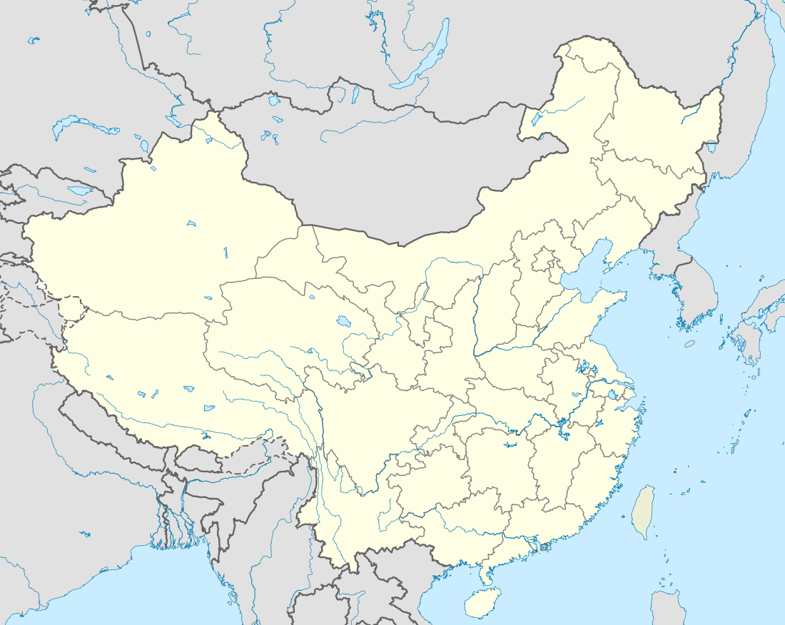 Alashankou Alashankou (China) | |
| Coordinates: 45°10′17″N 82°34′23″E / 45.17139°N 82.57306°ECoordinates: 45°10′17″N 82°34′23″E / 45.17139°N 82.57306°E | |
| Country | People's Republic of China |
| Autonomous Region | Xinjiang |
| Autonomous prefecture | Bortala |
| Township-level divisions | 2 Subdistricts |
| Area | |
| • Total | 1,204 km2 (465 sq mi) |
| Population (2012) | |
| • Total | 40,000 |
| Time zone | UTC+8 (China Standard Time) |
| Website |
www |
| Alashankou | |||||||||||
| Chinese name | |||||||||||
|---|---|---|---|---|---|---|---|---|---|---|---|
| Chinese | 阿拉山口 | ||||||||||
| |||||||||||
| Alternative Chinese name | |||||||||||
| Chinese | 阿拉套阿格兹 | ||||||||||
| |||||||||||
| Mongolian name | |||||||||||
| Mongolian script | ᠠᠯᠠᠭ ᠠᠭᠤᠯᠠ | ||||||||||
| Uyghur name | |||||||||||
| Uyghur |
ﺋﺎﻻﺗﺎﯞ ئېغىزى | ||||||||||
| Literal meaning | Alatau Pass | ||||||||||
| |||||||||||
Alashankou is a border city in Bortala Mongol Autonomous Prefecture, Xinjiang Uyghur Autonomous Region, China. It is a port of entry by both railroad and highway from Kazakhstan as part of the Eurasian Land Bridge.
Overview
The city is named after the Dzungarian Gate (Alashankou in Chinese), a pass connecting the two countries through the Dzungarian Alatau mountains. West of the pass, the port of entry on the Kazakhstan side is Dostyk. Alashankou is 73 kilometers (45 mi) from Bole, 460 kilometers (290 mi) from Ürümqi, and 580 kilometers (360 mi) from Almaty.[1] The weather in Alashankou is harsh.[2]
Alashankou is one of China's national first-class ports of entry. The volume of imports and exports passing through Alashankou accounts for 90% of the total for all of Xinjiang.[3] Since 2010 it has surpassed Manzhouli, Inner Mongolia to become the busiest land port-of-entry in China.[4]
Formerly a township-level port commission under the administration of Bole City, Alashakou was upgraded to a county-level city in December 2012. The city governs an area of 1,204 square kilometres (465 sq mi), including 12 square kilometres (4.6 sq mi) of built-up area, which is divided into Alatao and Aibihu subdistricts. It has a permanent population of 10,000 and a floating population of 30,000.[4]
Transport
The agreement between the Soviet Union and the China to connect Kazakhstan with Western China by rail was achieved in 1954. On the Soviet side, the railway reached the border town of Druzhba (Dostyk) in 1959. On the Chinese side, however, the westward construction of the Lanzhou-Xinjiang railway was stopped once it reached Urumqi in 1962. Due to the Sino-Soviet Split, the railway link was not completed until September 12, 1990. The highway port of entry was opened in December 1995.[3]
The railway networks of the two countries use different gauges (China, like most of Europe, uses the standard gauge of 1,435 mm (4 ft 8 1⁄2 in), but Russia uses the broader gauge of 1,520 mm (4 ft 11 27⁄32 in) Russian gauge ), so there are breaks of gauge. It is proposed to build a standard gauge Transcontinental Railway to link Europe and China to bypass these two breaks of gauge. This project was signed in 2004.[5]
On July 10, 2010, Bole Alashankou Airport was opened with scheduled flights to Ürümqi.[6]
Administrative divisions
- Alataw Subdistrict (阿拉套街道)
- Ebinur Subdistrict (艾比湖街道)
See also
References
- ↑ 阿拉山口陸運(鐵路、公路)口岸
- ↑ http://xinwen.eastday.com/a/n180121022332080.html
- 1 2 阿拉山口——中国向西开放的前沿
- 1 2 新疆阿拉山口市挂牌成立. Sina (in Chinese). 2012-12-31. Retrieved 2013-02-22.
- ↑ Trans-Kazakhstan link will complete standard-gauge transcontinental artery
- ↑ 新疆博乐阿拉山口机场正式通航
External links
![]()