Minfeng County
| Minfeng County 民丰县 • نىيە ناھىيىسى | |
|---|---|
| County | |
.png) Minfeng County (red) in Hotan Prefecture (yellow) and Xinjiang | |
 Minfeng Location of the seat in Xinjiang | |
| Coordinates: 37°04′N 82°46′E / 37.067°N 82.767°ECoordinates: 37°04′N 82°46′E / 37.067°N 82.767°E | |
| Country | People's Republic of China |
| Autonomous region | Xinjiang |
| Prefecture | Hotan Prefecture |
| County seat | Niya |
| Time zone | UTC+8 (China Standard) |
| Minfeng County | |||||||||
| Chinese name | |||||||||
|---|---|---|---|---|---|---|---|---|---|
| Simplified Chinese | 民丰县 | ||||||||
| Traditional Chinese | 民豐縣 | ||||||||
| |||||||||
| Alternative Chinese name | |||||||||
| Simplified Chinese | 尼雅县 | ||||||||
| Traditional Chinese | 尼雅縣 | ||||||||
| |||||||||
| Uyghur name | |||||||||
| Uyghur |
نىيە ناھىيىسى | ||||||||
| |||||||||
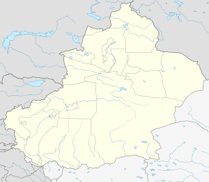
Minfeng County (Chinese: 民丰县) as the official romanized name, also transliterated from Uyghur as Niya County (Uyghur: نىيە ناھىيىسى ; Chinese: 尼雅县), is a county within the Xinjiang Uyghur Autonomous Region and is under the administration of the Hotan Prefecture. It contains an area of 56,726 km2 (21,902 sq mi). According to the 2002 census, it has a population of 30,000.[1]
The county seat is in the town of Niya, which is often referred to by the county name (Minfeng) as well.
References
- ↑ The Silk Road - China and the Karakorum Highway: A Travel Companion 1780763565 Jonathan Tucker - 2015 - Niya, north of Minfeng, Xinjiang province (photograph by Antonia Tozer) Wooden tablet written in Kharosthi (Spink and Son Ltd) The Shanpula cemetery, Luopu county, near Khotan, Xinjiang province (photograph by Antonia Tozer) Remains .
This article is issued from
Wikipedia.
The text is licensed under Creative Commons - Attribution - Sharealike.
Additional terms may apply for the media files.