Treryn Dinas
| Treryn Dinas | |
|---|---|
 The headland | |
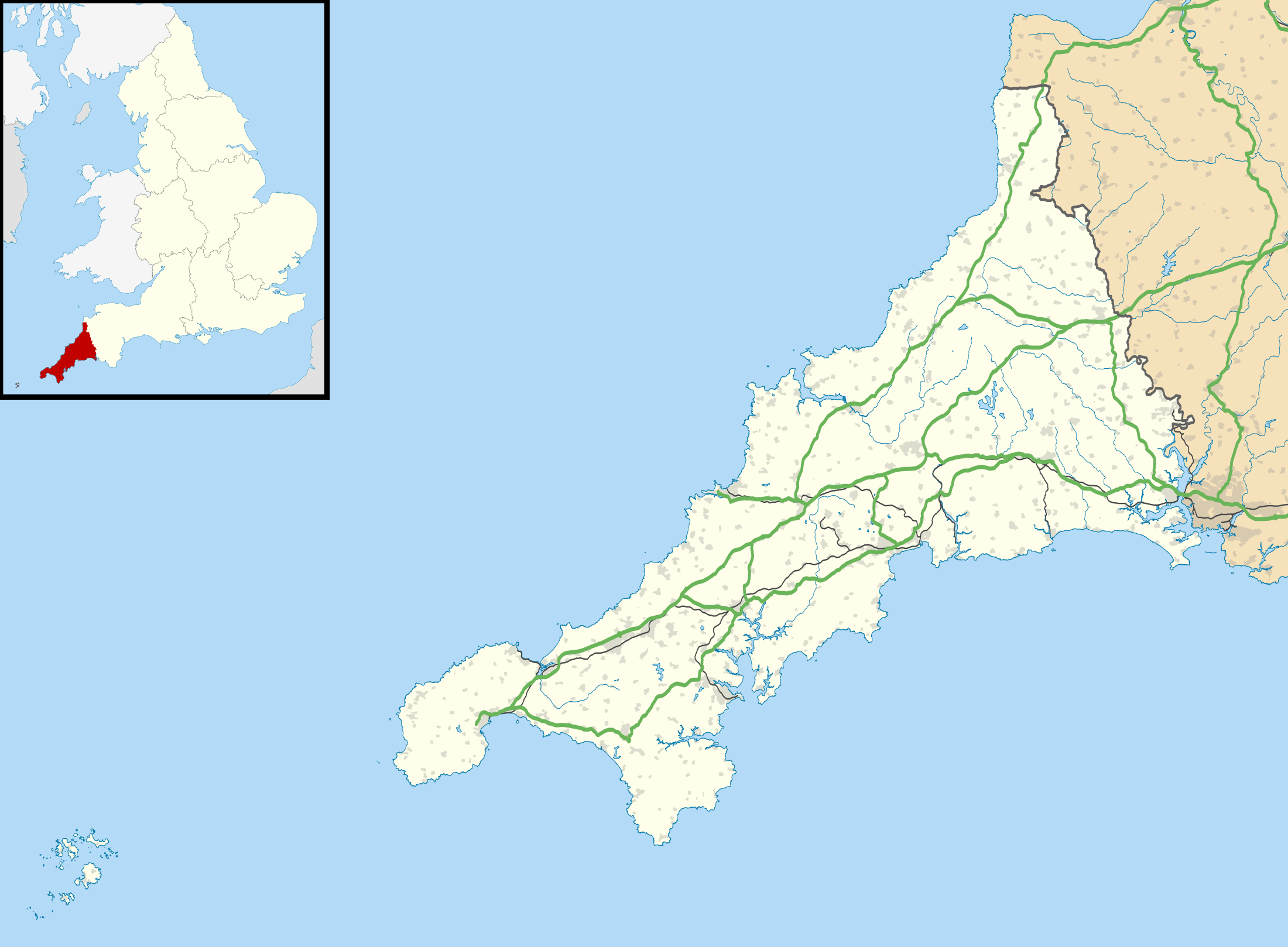 | |
| Location | Cornwall |
| OS grid | SW398220 |
| Coordinates | 50°02′30″N 5°38′05″W / 50.0416°N 5.6348°WCoordinates: 50°02′30″N 5°38′05″W / 50.0416°N 5.6348°W |
| Operator | National Trust |
| Designation | Scheduled monument |
Treryn Dinas is a headland near Treen, on the Penwith peninsula between Penberth Cove and Porthcurno in Cornwall, England.
It is a scheduled monument, and is owned by the National Trust.[1][2]
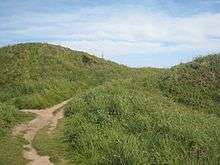
It is the site of an Iron Age promontory fort. The promontory slopes away steeply to the sea on three sides, and on the landward (north) side there are widely spaced defensive earthworks. The innermost rampart, up to 2 metres (6.6 ft) high, crosses the narrowest part of the headland. Beyond this there are two low curving ramparts, and a massive outer rampart, up to 6.1 metres (20 ft) high, with a ditch on its northern side and a causewayed entrance. The South West Coast Path runs alongside the outer rampart.[1][2][3][4]
On the promontory, Logan Rock is balanced on the rocky terrain about 30 metres (98 ft) above the sea.[3]
| Wikisource has original text related to this article: |
This rocky headland is the subject of an engraving in Fisher's Drawing Room Scrap Book, 1833, together with a poetical illustration by Letitia Elizabeth Landon.
References
| Wikimedia Commons has media related to Treryn Dinas. |
- 1 2 Promontory fort known as Treryn Dinas Historic England, accessed 20 June 2016.
- 1 2 Treryn Dinas Cliff Castle, Treen and Rospletha Cliffs Penberth Valley and Cove, St Levan National Trust, accessed 20 June 2016.
- 1 2 Treryn Dinas and Logan Rock Cornwall Tour, accessed 20 June 2016.
- ↑ Treryn Dinas Cliff Castle, Cornwall PictureTheUK, accessed 20 June 2016.
Cornwall Portal | |
| Unitary authorities | |
| Major settlements |
|
| Rivers | |
| Topics | |