Grovely Castle
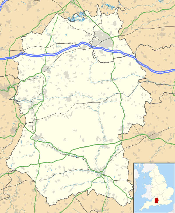 Shown within Wiltshire | |
| Location | Wiltshire |
|---|---|
| Region | Southern England |
| Coordinates | 51°07′16″N 1°55′55″W / 51.1211°N 1.932°WCoordinates: 51°07′16″N 1°55′55″W / 51.1211°N 1.932°W |
| Type | possible hill fort |
| Area | 13 acres (5.3 ha) |
| History | |
| Periods | Iron Age |
| Site notes | |
| Archaeologists |
P.F.Ewence Grinsell |
Grovely Castle is the site of an Iron Age univallate hill fort in the Parish of Steeple Langford, in Wiltshire. The remaining ramparts stand approximately 3.2 m (10 ft) high, with 1.5 m (4.9 ft) deep ditches, although ploughing has damaged the earthworks in some parts of the site. Excavations have uncovered the remains of five human skeletons within the ramparts. Entrances are located in the southwest and northeast corners of the hillfort. A circular enclosure of 35 to 40 m (115 to 131 ft) is evident in aerial photographs of the hillfort interior. There is also a later bank and ditch which runs through the hill-fort from south-west to north-east, and is probably part of an extensive surrounding Celtic field system.[1]
Location
The site is located at grid reference SU048357, to the south of the village of Little Langford. The site has a summit of 156 m (512 ft) AOD. Nearby to the east lies the Iron Age site of Ebsbury, and to the south, the largest forest in Wiltshire, Grovely Wood.
References
- ↑ "English heritage Pastscape page for Grovely castle". Retrieved 11 March 2012.