Desborough Castle
| Desborough Castle | |
|---|---|
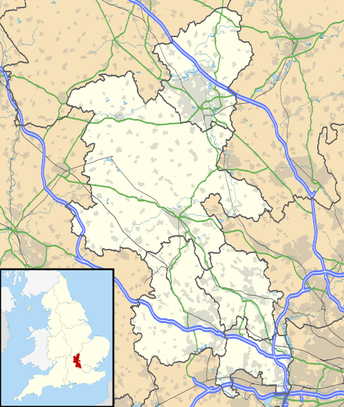
| Buckinghamshire, England | |
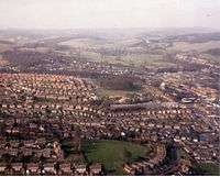 Desborough Castle (centre), seen from the air | |
 Desborough Castle | |
| Coordinates | 51°37′56″N 0°46′39″W / 51.6321°N 0.7776°WCoordinates: 51°37′56″N 0°46′39″W / 51.6321°N 0.7776°W |
| Grid reference | grid reference SU847933 |
| Type | Hill fort and ringwork castle |
| Site information | |
| Condition | Earthworks remain |
Desborough Castle is an Iron Age hill fort which lies on the southern side of the valley of the River Wye in Buckinghamshire, which runs through the Chiltern Hills from The Ridgeway and Vale of Aylesbury to the river Thames.
Details
Desborough Castle consists of a Norman ringwork, partly overlying a mound, possibly a barrow reused as a Saxon moot. Both lie within a square enclosure, possibly an Iron Age or Late Bronze Age settlement or stock enclosure.
This valley has always been an important communication route, and has had a known trackway running through since the Bronze Age. The fort lies within what is these days a landscaped grass area, just below the Castlefield council estate and looks over High Wycombe.
See also
Sources
From: 'Parishes: West Wycombe', A History of the County of Buckingham: Volume 3 (1925), pp. 135–40. URL: http://www.british-history.ac.uk/report.asp?compid=42540.