Eldersfield
| Eldersfield | |
|---|---|
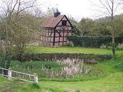 Village pond | |
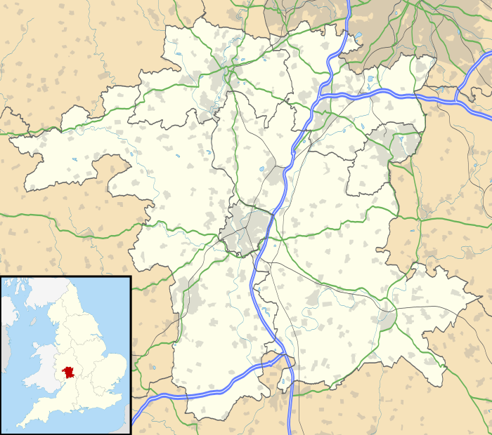 Eldersfield Eldersfield shown within Worcestershire | |
| District | |
| Shire county | |
| Region | |
| Country | England |
| Sovereign state | United Kingdom |
| Post town | Gloucester |
| Postcode district | GL19 |
| Police | West Mercia |
| Fire | Hereford and Worcester |
| Ambulance | West Midlands |
| EU Parliament | West Midlands |
| UK Parliament | |
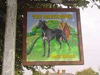
The sign that hangs in front of the Greyhound pub by local artist Kate Sanger-Davies
Eldersfield is a village and civil parish in the Malvern Hills district of Worcestershire, England. It stands exactly ten miles east of Ledbury and ten miles north of Gloucester; this fact can be found on a milestone on the side of the B4211 road that runs through Corse Lawn. The parish church is dedicated to St. John the Baptist and is in the Diocese of Worcester.[1] The parish registers survive from 1718, and there are bishops' transcripts for the earlier registers starting in 1561.[2]
Gadbury Camp
The Iron Age fort of Gadbury Camp can be found in the Parish, to the east of the village. It is a listed monnument.[3][4]
References
- ↑ Church of England, Diocese of Worcester. "St. John the Baptist, Eldersfield".
- ↑ Good, William. "Eldersfield Registers".
- ↑ Anon (2015). "Gadbury Camp, Elders/ield". Historic England. Retrieved 13 July 2018.
- ↑ Anon (2015). "Gadbury Camp A Scheduled Monument in Eldersfield, Worcestershire". Ancient Monuments. Good Stuff.
External links
| Wikimedia Commons has media related to Eldersfield. |
This article is issued from
Wikipedia.
The text is licensed under Creative Commons - Attribution - Sharealike.
Additional terms may apply for the media files.