Castle Ditches
 Woods around Castle Ditches | |
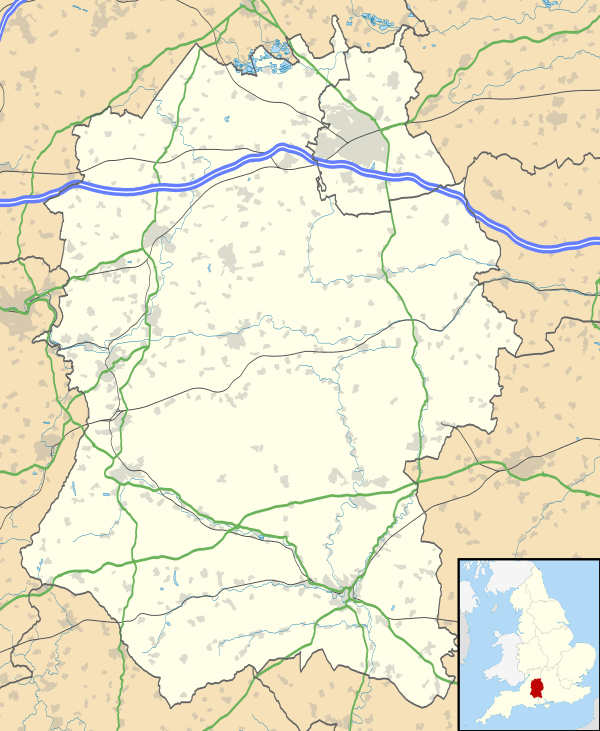 Shown within Wiltshire | |
| Alternative name | Spelsbury |
|---|---|
| Location | Wiltshire |
| Coordinates | 51°03′14″N 2°03′15″W / 51.0540°N 2.0542°WCoordinates: 51°03′14″N 2°03′15″W / 51.0540°N 2.0542°W |
| Area | 24 acres |
| History | |
| Periods | Iron Age |
| Site notes | |
| Public access | no |
Castle Ditches is the site of an Iron Age trivallate hillfort located in Wiltshire. It is probable that its ancient name was Spelsbury and it was referred to as Willburge in Tisbury's charter of 984 A.D.[1] Its shape is roughly triangular, and follows the contours of the small hill upon which it sits. The earthworks comprise triple row of ramparts and ditches, which are covered on three sides with woodland. There is a large entrance towards the south-east, where there is the shallowest incline of the hill; but there is also a narrow slit on the opposite side. The area within the site encompasses nearly 24 acres, and the greatest height of the ramparts is about forty feet.[2] [3]
Location
The site is located at grid reference ST964282, to the southeast of the small town of Tisbury, in the county of Wiltshire. The hill has a summit of 193m AOD. The River Nadder flows close by to the north of the site. There are public footpaths surrounding all parts of the site, but the land is privately owned.
References
- ↑ Tisbury Local History Society (1984). Looking Around Tisbury. Castle Cary, Somerset: Inkwell Design & Print.
- ↑ The Ancient History of Wiltshire, by Sir Richard Colt Hoare, published 1812, Chapter No. 11 - Station 8: Fovant
- ↑ "The Megalithic Portal website". Retrieved 10 October 2010.