Rural Municipality of Heart's Hill No. 352
| Heart's Hill No. 352 | |
|---|---|
| Rural municipality | |
 Heart's Hill No. 352 | |
| Coordinates: 52°0′39″N 109°47′7″W / 52.01083°N 109.78528°WCoordinates: 52°0′39″N 109°47′7″W / 52.01083°N 109.78528°W | |
| Country | Canada |
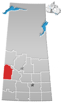
| Province | Saskatchewan |
| Area | |
| • Total | 837.58 km2 (323.39 sq mi) |
| Population (2001) | |
| • Total | 307 |
| • Density | 0.37/km2 (0.95/sq mi) |
Heart's Hill No. 352, Saskatchewan was incorporated November 15, 1910. It is a rural municipality in west-central Saskatchewan, Canada on the Alberta - Saskatchewan border. Heart's Hill No. 352 operates from Box 458, Luseland, SK S0L 2A0. Heart's Hill No. 352 encompasses the place-name of Cactus Lake. Luseland is located in R.M. Progress No. 351
Statistics
According to the Canada 2001 Census:
- Population: 359 (1996) 307 (2001)
- % Change (1996-2001): -14.5
- Dwellings: 111
- Area (km²): 837.58
- Density (persons per km²): 0.4
Communities and localities
The following urban municipalities are surrounded by the Rural Municipality:
- none
- none
- none
- none
The following hamlets are located within the Rural Municipality:
- none
- none
- Hearts Hill
- Cosine
Highways
- For more information see also List of Saskatchewan provincial highways
Footnotes
External links
- Meridian Community Futures Development Corporation- Region
- St. Joseph's Colony
- 2001 Census - Statistics Canada's page on the 2001 Census.
- MRD - Municipal Status Information - Rural Municipality ...
- Battleford Gen Web
- Saskatchewan Genealogy Society Rural Municipality Locator
- Map of Heart's Hill No. 352 at Statcan
This article is issued from
Wikipedia.
The text is licensed under Creative Commons - Attribution - Sharealike.
Additional terms may apply for the media files.