Ireby, Lancashire
| Ireby | |
|---|---|
 Over Hall | |
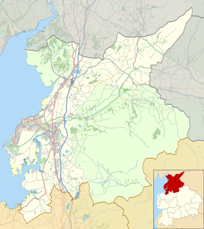 Ireby Location in the City of Lancaster district  Ireby Ireby shown within Lancashire | |
| Population | 78 (2001) |
| OS grid reference | SD654754 |
| Civil parish |
|
| District | |
| Shire county | |
| Region | |
| Country | England |
| Sovereign state | United Kingdom |
| Post town | CARNFORTH |
| Postcode district | LA6 |
| Dialling code | 015242 |
| Police | Lancashire |
| Fire | Lancashire |
| Ambulance | North West |
| EU Parliament | North West England |
| UK Parliament | |
Ireby is a small hamlet and civil parish on the edge of Lancashire, England, bordering North Yorkshire. It lies in the City of Lancaster, just inside the recently extended boundaries of the Yorkshire Dales, near the community of Masongill. The parish had a population of 78 according to the 2001 Census.[1] The name means "Town of the Irish Vikings".[2]
Parish and county
Ireby, Lancashire, was formerly included in the parish of Thornton in Lonsdale despite Thornton being in Yorkshire. It was because this area was in the Lonsdale Hundred that the founders of the county of Lancashire claimed the left side of that parish including Ireby. This piece of Lancashire is c6km long and in width tapers from c2km to only about 100m.[3]
See also
References
- ↑ Office for National Statistics : Census 2001 : Parish Headcounts : Lancaster Retrieved 12 February 2010
- ↑ Ireby, Lancashire, England near Cowan Bridge & Leck
- ↑ http://maps.familysearch.org/ Family Search, Historical Maps, England Jurisdictions 1851
External links
![]()