Cantsfield
| Cantsfield | |
|---|---|
 Cantsfield Hall | |
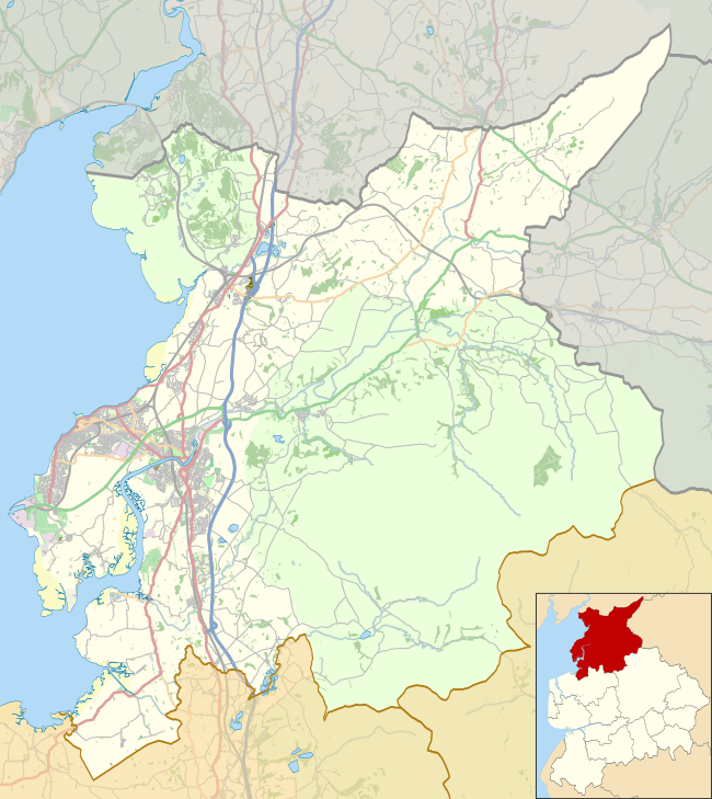 Cantsfield Location in the City of Lancaster district  Cantsfield Cantsfield shown within Lancashire | |
| Population | 76 (2001) |
| OS grid reference | SD619729 |
| Civil parish |
|
| District | |
| Shire county | |
| Region | |
| Country | England |
| Sovereign state | United Kingdom |
| Post town | CARNFORTH |
| Postcode district | LA6 |
| Dialling code | 01524 |
| Police | Lancashire |
| Fire | Lancashire |
| Ambulance | North West |
| EU Parliament | North West England |
| UK Parliament | |
Cantsfield is a hamlet and civil parish in the City of Lancaster, in Lancashire, England, near the boundary with North Yorkshire. It is situated near the River Greta and on the A687 road near the junction with the A683. The parish had a population of 76 at the 2001 census.[1] The village is a designated conservation area.[2]
Thurland Castle, situated between Cantsfield and Tunstall, was originally built in the 14th century, and after being damaged during the English Civil War and rebuilt on two occasions has now been converted into apartments.[3]
See also
References
- ↑ Office for National Statistics : Census 2001 : Parish Headcounts : Lancaster Retrieved 11 February 2010
- ↑ CONSERVATION AREAS: A guide for owners and developers Archived October 12, 2007, at the Wayback Machine.
- ↑ Lancashire Parish Portal Archived August 7, 2007, at the Wayback Machine.
External links
![]()
This article is issued from
Wikipedia.
The text is licensed under Creative Commons - Attribution - Sharealike.
Additional terms may apply for the media files.