Whittington, Lancashire
Whittington
| |
|---|---|
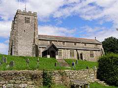 St Michael's Church | |
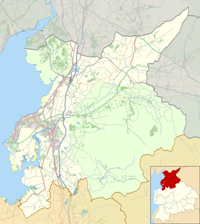 Whittington Shown within Lancaster district  Whittington Whittington shown within Lancashire | |
| Area | 17.87 km2 (6.90 sq mi) |
| Population | 375 (Parish, 2011)[1] |
| • Density | 21/km2 (54/sq mi) |
| OS grid reference | SD600762 |
| Civil parish |
|
| District | |
| Shire county | |
| Region | |
| Country | England |
| Sovereign state | United Kingdom |
| Post town | Carnforth |
| Postcode district | LA6 |
| Dialling code | 01524 |
| Police | Lancashire |
| Fire | Lancashire |
| Ambulance | North West |
| EU Parliament | North West England |
| UK Parliament | |
Whittington is a small village and civil parish in Lancashire, England, forming part of a cluster of sites along the Lune valley, each with evidence of a motte - as with Melling and Arkholme. This is the densest distribution of Norman castles outside the Welsh border countryside.
Whittington Hall is a large 5-acre (20,000 m2) estate surrounding a grand hall with many out buildings
See also
References
- ↑ UK Census (2011). "Local Area Report – Whittington Parish (1170215061)". Nomis. Office for National Statistics. Retrieved 18 March 2018.
External links
| Wikimedia Commons has media related to Whittington, Lancashire. |
This article is issued from
Wikipedia.
The text is licensed under Creative Commons - Attribution - Sharealike.
Additional terms may apply for the media files.