Tunstall, Lancashire
| Tunstall | |
|---|---|
 Tunstall village | |
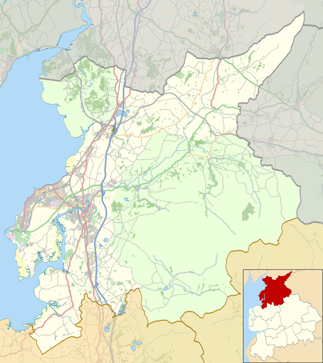 Tunstall Location in the City of Lancaster district  Tunstall Tunstall shown within Lancashire | |
| Population | 223 (2011) |
| OS grid reference | SD607736 |
| Civil parish |
|
| District | |
| Shire county | |
| Region | |
| Country | England |
| Sovereign state | United Kingdom |
| Post town | CARNFORTH |
| Postcode district | LA6 |
| Dialling code | 015242 |
| Police | Lancashire |
| Fire | Lancashire |
| Ambulance | North West |
| EU Parliament | North West England |
| UK Parliament | |
Tunstall is a village in north Lancashire, England (grid reference SD607736). It is 11.1 miles (18 km) northeast of Lancaster on the A683 road between Lancaster and Kirkby Lonsdale. In the 2001 census the civil parish of Tunstall had a population of 105,[1] increasing to 223 at the 2011 Census.[2]
To the north east of the village is the Grade I listed Church of St John the Baptist.
Several houses, a restaurant, a village hall, and a tennis court make up most of the village of Tunstall. The restaurant/pub, called the Lunesdale Arms hosts many village activities, such as carol services and quizzes.
.jpg)
To the south of the village is Thurland Castle, which dates from the fourteenth century. It was made ruinous following a siege in 1643, restored in 1809 and 1829, then gutted by fire in 1879 and rebuilt. It is now divided into apartments.[3]
See also
References
- ↑ "Parish headcount" (PDF). Archived from the original (PDF) on 10 December 2006. Retrieved 13 April 2008.
- ↑ "Parish population 2011". Retrieved 9 June 2015.
- ↑ Historic England, "Thurland Castle, Cantsfield (1164439)", National Heritage List for England, retrieved 18 November 2012
External links
![]()