Leck, Lancashire
| Leck | |
|---|---|
 Leck Beck | |
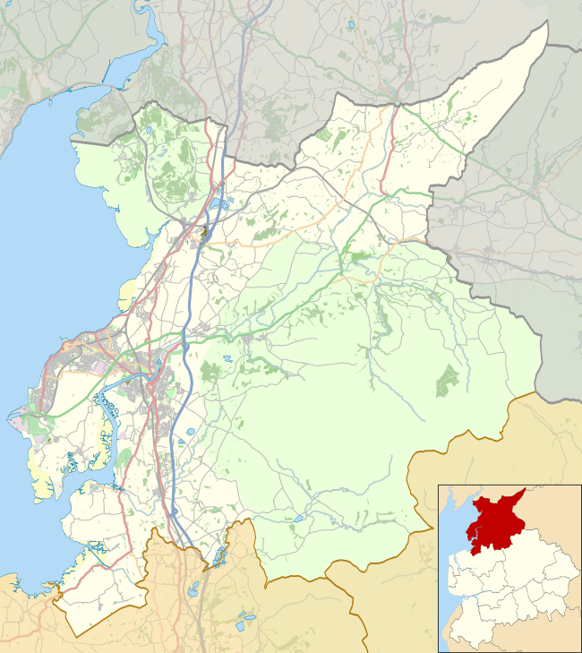 Leck Location in the City of Lancaster district  Leck Leck shown within Lancashire | |
| Population | 260 (2011) |
| OS grid reference | SD643768 |
| Civil parish |
|
| District | |
| Shire county | |
| Region | |
| Country | England |
| Sovereign state | United Kingdom |
| Post town | CARNFORTH |
| Postcode district | LA6 |
| Dialling code | 01524 |
| Police | Lancashire |
| Fire | Lancashire |
| Ambulance | North West |
| EU Parliament | North West England |
| UK Parliament | |
Leck is a civil parish in the English county of Lancashire. The parish of Leck had a population of 189 recorded in the 2001 census,[1] increasing to 260 at the 2011 Census.[2] It is located next to the Leck Beck close to the main A65, 2 miles (3.2 km) south east of the Cumbrian town of Kirkby Lonsdale. Administratively it forms part of the City of Lancaster, Lancaster itself being 18 miles (29 km) away.
The Church of St Peter was built in 1878-79 and burnt down in 1913, but was accurately re-built in 1915.[3]
Geology
Leck is located on two ancient geological fault lines: the Dent Fault and the Craven Fault. These meet at around 54°11′26″N 2°31′38″W / 54.190507°N 2.527339°W. In the Carboniferous to Jurassic periods these major earth movements formed the dramatic landscape of Lonsdale and the Aire Gap in Craven District
See also
References
- ↑ Office for National Statistics : Census 2001 : Parish Headcounts : Lancaster Retrieved 12 February 2010
- ↑ "Parish population 2011". Retrieved 8 June 2015.
- ↑ Pevsner, Nikolaus; Hartwell, Clare (revision) (2009). The Buildings of England – Lancashire: North. London and New Haven: Yale University Press. pp. 419–420. ISBN 978-0-300-12667-9.
External links
![]()