Ilhéu Gabado
 Ilhéu Gabado Location off São Tomé Island | |
| Geography | |
|---|---|
| Location | Southeast of the island of Príncipe, São Tomé and Príncipe near Ribeira Peixe |
| Coordinates | 0°07′54″N 6°28′51″E / 0.1316°N 6.480796°ECoordinates: 0°07′54″N 6°28′51″E / 0.1316°N 6.480796°E |
| Administration | |
| Demographics | |
| Population | 0 |
| Pop. density | 0 /km2 (0 /sq mi) |
| Additional information | |
| Stratovolcano | |
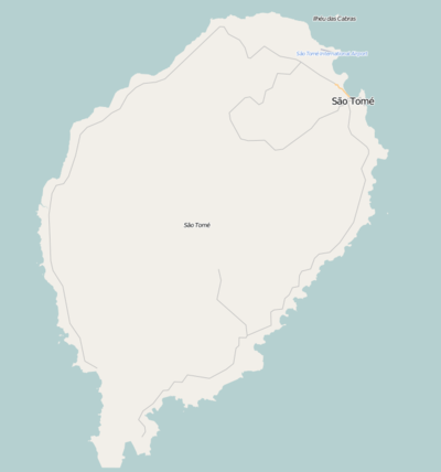
Ilhéu Gabado is an uninhabited islet in the Gulf of Guinea and is one of the smaller islands of São Tomé and Príncipe.[1] Ilhéu Gabado forms no part of the nearby Obo Natural Park. The islet is located 410 m west of the island of São Tomé. Its length is 360 m east to west and its width is 95 m. The entire terrain is completely forested. Due north is another islet known as São Miguel and west is Ilhéu Formoso, south is a small bay known as Baía de Pilar where the district boundary with Caué is located..
Fauna dominate the island, the dominant are just birds and of the sea including fishes and crustaceans. The islet is of volcanic origin and has no separate volcanic vent from nearby São Tomé but formed from.
During the Ice Age, it formed a part of the island of São Tomé up to around 4,000 to 2,000 BC. The islet was discovered by the Portuguese in January 1471 when the nearby island of São Tomé was also discovered.
The bay was mentioned in a 1902 map, that map is also displayed as a info mural at Roça Porto Alegre.
References
| Communities | 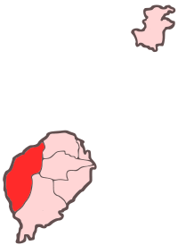 | |
|---|---|---|
| Culture | ||
| Geography | ||
| Major islands | |
|---|---|
| Minor islands and islets | |