Monte Forte, São Tomé and Príncipe
| Monte Forte | |
|---|---|
| Village | |
.jpg) A drying shelter at Roça de Monte Forte, behind it is a warehouse and its surrounding area including the mountains | |
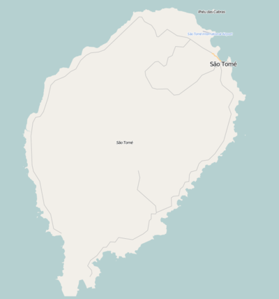 Monte Forte Location on São Tomé Island | |
| Coordinates: 0°19′51″N 6°31′51″E / 0.3309°N 6.5309°ECoordinates: 0°19′51″N 6°31′51″E / 0.3309°N 6.5309°E | |
| Country |
|
| Province | São Tomé |
| District | Lembá |
| Population (2008) | |
| • Total | 80 |
| Time zone | UTC+0 (UTC) |
Monte Forte is a settlement in the westcentral part of the Lembá District on the northwestern coast of São Tomé Island in São Tomé and Príncipe and is connected with the road linking the National Route 2 (EN2) and Generosa. Its population is 80 (2008 est.),[1] Northeast are Ponta Figo and the district capital Neves.
Population history
| Historical population | ||
|---|---|---|
| Year | Pop. | ±% |
| 2001 (census) | 70 | — |
| 2008 (estimate) | 80 | +14.3% |
About the village
Agriculture is the dominant industry.
Its notable landmark is its church and Roça de Monte Forte, a warehouse and also has a drying shelter area, cocoa is being produced at the warehouse. The house also serves as a hotel today.
References
- ↑ Agostinho Miguel (2013-11-13). "Evolução da população São-Tomense por localidades, 2001/2007-08" (PDF). Retrieved 2017-12-01.
External links
- Roça de Monte Forte - As Roças de São Tomé
| Communities | 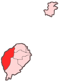 | |
|---|---|---|
| Culture | ||
| Geography | ||
This article is issued from
Wikipedia.
The text is licensed under Creative Commons - Attribution - Sharealike.
Additional terms may apply for the media files.