Rosema, São Tomé and Príncipe
| Rosema | |
|---|---|
| Village | |
 Rosema Location on São Tomé Island | |
| Coordinates: 0°21′04″N 6°34′13″E / 0.3511°N 6.5704°ECoordinates: 0°21′04″N 6°34′13″E / 0.3511°N 6.5704°E | |
| Country |
|
| Province | São Tomé |
| District | Lembá |
| Population (2008) | |
| • Total | 1,850 |
| Time zone | UTC+0 (UTC) |
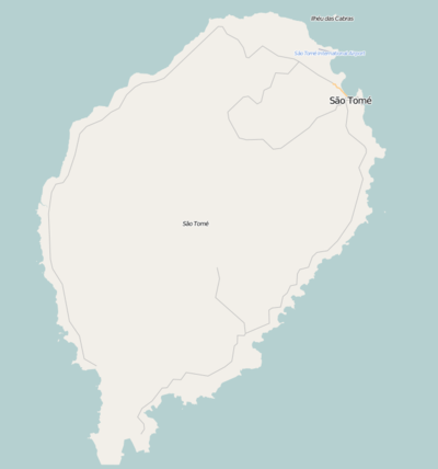
Rosema is a settlement in the northeast of the Lembá District on the northwestern coast of São Tomé Island in São Tomé and Príncipe and is connected with the National Route 2 (EN2). Its population is 1,850 (2008 est.),[1] Southwest is Neves and northeast is the boundary with Lobata.
Population history
| Historical population | ||
|---|---|---|
| Year | Pop. | ±% |
| 2001 (census) | 1,623 | — |
| 2008 (estimate) | 1,850 | +14.0% |
About the village
Agriculture is the dominant industry.
References
- ↑ Agostinho Miguel (2013-11-13). "Evolução da população São-Tomense por localidades, 2001/2007-08" (PDF). Retrieved 2017-10-16.
| Communities | 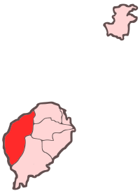 | |
|---|---|---|
| Culture | ||
| Geography | ||
This article is issued from
Wikipedia.
The text is licensed under Creative Commons - Attribution - Sharealike.
Additional terms may apply for the media files.