Ilhéu Quixibá
 Ilhéu Quixiba Location off São Tomé Island | |
| Geography | |
|---|---|
| Location | Southeast of the island of Príncipe, São Tomé and Príncipe near Ribeira Peixe |
| Coordinates | 0°04′24″N 6°35′10″E / 0.0733°N 6.5861°ECoordinates: 0°04′24″N 6°35′10″E / 0.0733°N 6.5861°E |
| Administration | |
| Demographics | |
| Population | 0 |
| Pop. density | 0 /km2 (0 /sq mi) |
| Additional information | |
| Stratovolcano | |
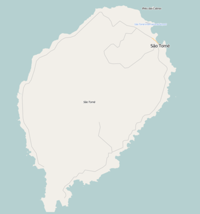
Ilhéu Quixibá, commonly as Quixibá is an islet in the Gulf of Guinea and is one of the smaller islands of São Tomé and Príncipe.[1] The islet is located 375 m southeast of the southernmost portion of the island of São Tomé. Its length is 125 m, it has a triangular shape. The entire terrain is completely forested. During the Ice Age, it formed a part of the island of São Tomé up to around 4,000 to 2,000 BC. The islet is located south of a point that is southwest of Ribeira Peixe and forms a part of Baía de Praia Grande. Southeast of the islet are a couple of rock islets known as Sete Pedras.
The islet name etymology is predominantly of Angolan origin and its approximate spelling is Kishiba.
The islet is not inhabited by humans. Fauna dominate the island, the dominant are just birds and of the sea including fishes and crustaceans. The islet is of volcanic origin and the islet is likely not a volcanic vent from nearby São Tomé but formed from.
The islet was discovered by the Portuguese in January 1471 when the nearby island of São Tomé was also discovered.
The islet in its earlier maps were mentioned without a name, one of them, the 1780 map by A. Dalrymple.[2] The islet name started to appear in later maps, one of them, the 1902 map, the map also displayed today at a info wall at Roça de Porto Alegre.
References
- ↑ Ilhéu Quixibá
- ↑ 1780 map of the island of Saint Thomas (now São Thomé) by T. Harmar and A. Dalrymple, now at the French National Library
| Communities |  | |
|---|---|---|
| Geographical features | ||
| Landmarks and hotels | ||
| Culture | ||
| Major islands | |
|---|---|
| Minor islands and islets | |