Lembá (village)
| Lembá | |
|---|---|
| Village | |
 Lembá Location on São Tomé Island | |
| Coordinates: 0°15′04″N 6°28′02″E / 0.251°N 6.4671°ECoordinates: 0°15′04″N 6°28′02″E / 0.251°N 6.4671°E | |
| Country |
|
| Province | São Tomé |
| District | Lembá |
| Population (2008) | |
| • Total | 286 |
| Time zone | UTC+0 (UTC) |
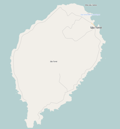
Lembá or Vila de Lembá is a settlement in the west end of the Lembá District in the western part of São Tomé Island in São Tomé and Príncipe. It is the second westernmost place in the nation behind Binda to the south. Its population is 286 (2008 est.),[1] The village is the terminus of the National Route 2 (EN2) that begins in the capital city of São Tomé. North is Santa Catarina, southeast is Ponta Furada and south is Binda, some 2 km east and 3 km south is Obo National Park.
The settlement name is predominantly of Angolan origin and it gives its name to the district.
Population history
| Historical population | ||
|---|---|---|
| Year | Pop. | ±% |
| 2001 (census) | 251 | — |
| 2008 (estimate) | 286 | +13.9% |
About the village
Agriculture is the dominant industry.
References
- ↑ Agostinho Miguel (2013-11-13). "Evolução da população São-Tomense por localidades, 2001/2007-08" (PDF). Retrieved 2017-10-26.
| Communities | 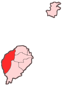 | |
|---|---|---|
| Culture | ||
| Geography | ||
This article is issued from
Wikipedia.
The text is licensed under Creative Commons - Attribution - Sharealike.
Additional terms may apply for the media files.