Gerbépal
| Gerbépal | ||
|---|---|---|
| Commune | ||
 | ||
| ||
 Gerbépal Location within Grand Est region  Gerbépal | ||
| Coordinates: 48°09′03″N 6°55′22″E / 48.1508°N 6.9228°ECoordinates: 48°09′03″N 6°55′22″E / 48.1508°N 6.9228°E | ||
| Country | France | |
| Region | Grand Est | |
| Department | Vosges | |
| Arrondissement | Saint-Dié-des-Vosges | |
| Canton | Gérardmer | |
| Intercommunality | CA Saint-Dié-des-Vosges | |
| Government | ||
| • Mayor (2008–2014) | Bernard Thomas | |
| Area1 | 19.18 km2 (7.41 sq mi) | |
| Population (2006)2 | 541 | |
| • Density | 28/km2 (73/sq mi) | |
| Time zone | UTC+1 (CET) | |
| • Summer (DST) | UTC+2 (CEST) | |
| INSEE/Postal code | 88198 /88430 | |
| Elevation |
583–1,083 m (1,913–3,553 ft) (avg. 630 m or 2,070 ft) | |
|
1 French Land Register data, which excludes lakes, ponds, glaciers > 1 km2 (0.386 sq mi or 247 acres) and river estuaries. 2 Population without double counting: residents of multiple communes (e.g., students and military personnel) only counted once. | ||

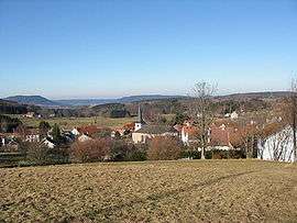
Gerbépal is a commune in the Vosges department in Grand Est in northeastern France.
See also
References
External links
| Wikimedia Commons has media related to Gerbépal. |
This article is issued from
Wikipedia.
The text is licensed under Creative Commons - Attribution - Sharealike.
Additional terms may apply for the media files.