Chembra Peak
| Chembra Peak | |
|---|---|
|
ചെമ്പ്ര കൊടുമുടി | |
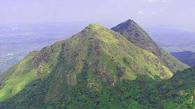 View of Chembra Peak | |
| Highest point | |
| Elevation | 2,100 m (6,890 ft) [1] |
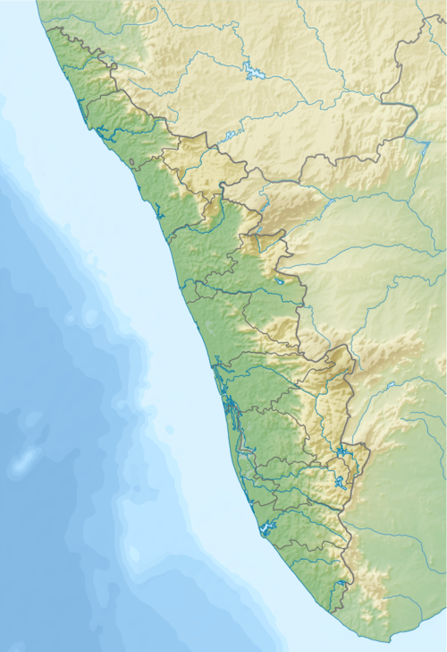
| Coordinates | 11°30′44″N 76°05′22″E / 11.51222°N 76.08944°ECoordinates: 11°30′44″N 76°05′22″E / 11.51222°N 76.08944°E |
| Geography | |
 Chembra Peak | |
| Parent range | Western Ghats |
| Climbing | |
| Easiest route | Hike |
Chembra Peak (Chembra Mala) is one of the highest peak in the Western Ghats and the highest peak in Wayanad hills, at 2,100 m (6,890 ft) above sea level.[2] Chembra is located near the town of Meppadi and is 8 km (5 mi) south of Kalpetta. It is part of the Wayanad hill ranges in Western Ghats, adjoining the Nilgiri Hills and Vellarimala in Kozhikode district in Kerala. It is the highest and the largest peak in Western Ghats of India in between Nilgiris and Himalayas exceeding 2,000m . Visits to this peak organized by 'the Chempra Peak VSS' under the control of South Wayanad Forest Development Agency, guides are provided for trekking. Chembra Peak is accessible by foot from Meppady. District Tourism Promotion Council provides guides and trekking equipment on hire charges to tourists. Banasura Sagar Dam and Banasura Hill is also nearby.[3]
Gallery
 Lake en route to the top of Chembra Peak
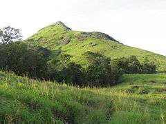 Top View
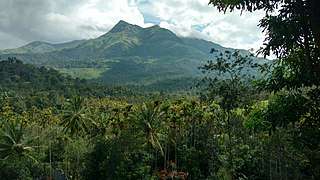 View From Meppadi
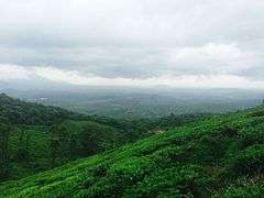 Tea plantations, Chembra peak, Western Ghats Kerala
 Heart shape lake
 Plumeria rubra
-Chembra_-Wayanad.jpg) White-bar Bushbrown (Mycalesis anaxias)
White-bar Bushbrown (Mycalesis anaxias)
References
- ↑ "Proceedings of the Chairman, District Disaster Management Authority and the District Magistrate, Wayanad" (PDF). Collectorate, Wayanad. Retrieved 2017-01-16.
- ↑ "Official Website of Kerala Tourism". Retrieved 2007-10-01.
- ↑ "Keralam.com site". Archived from the original on 2007-11-18. Retrieved 2007-10-01.
External links
| Wikimedia Commons has media related to Chembra Peak. |
| History of Wayanad | |||||
|---|---|---|---|---|---|
| Cities | |||||
| Transport |
| ||||
| Education in Wayanad |
| ||||
| Visitor attractions | |||||
| Places of worship | |||||
| Other topics | |||||
| |||||