Mangalam Dam (dam)
| Mangalam Dam | |
|---|---|
 Mangalam Dam | |
 Location of Mangalam Dam in India 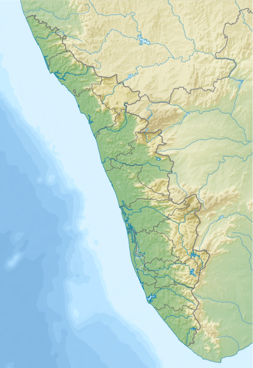 Mangalam Dam (dam) (Kerala)  Mangalam Dam (dam) (Tamil Nadu) | |
| Coordinates | Coordinates: 10°30′33″N 76°32′06″E / 10.50917°N 76.53500°E |
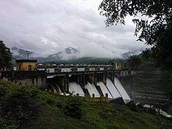
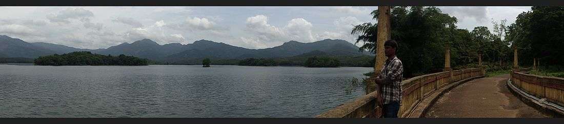
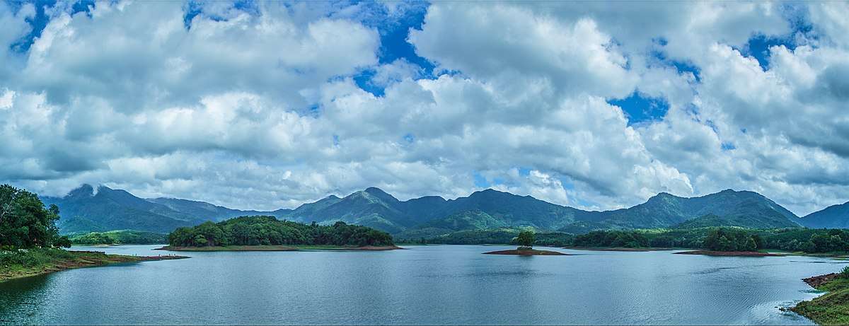
Mangalam dam is constructed across the river Cherukunnapuzha which is a tributary of Mangalam river. A canal system for irrigation purpose was completed and opened in 1966, in the Alathur taluk of Palakkad district in Kerala, South India.
Most of the inhabitants come from, Perumbavoor Kottayam or Chalakkudy. There are rubber, pepper, coffee, and tapioca plantations in the area.
Mangalam dam is 16 km away from Vadakkencherry. Karimkayam, Earth Dam, Odenthode, Kunjiarpathy, Kavilupara, Vattapara, Neethipuram, Ponkandam, Kadappara, Uppumanne, Olipara, Balaswaram-V.R.T and Choorupara are also in the area.
A big landslide occurred in Kavilupara near to Odenthode during the 2007 floods.You can also see thick forest in the area of Karimkayam, Odenthode, Kadappara.
See also
| Wikimedia Commons has media related to Mangalam Dam. |