State Highway 29 (Kerala)
 29
| |
|---|---|
| Route information | |
| Maintained by Kerala Public Works Department | |
| Length | 31.0 km (19.3 mi) |
| Major junctions | |
| From | NH 212, Chundale |
| To | State Boundary (Kerala - Tamil Nadu) |
| Highway system | |
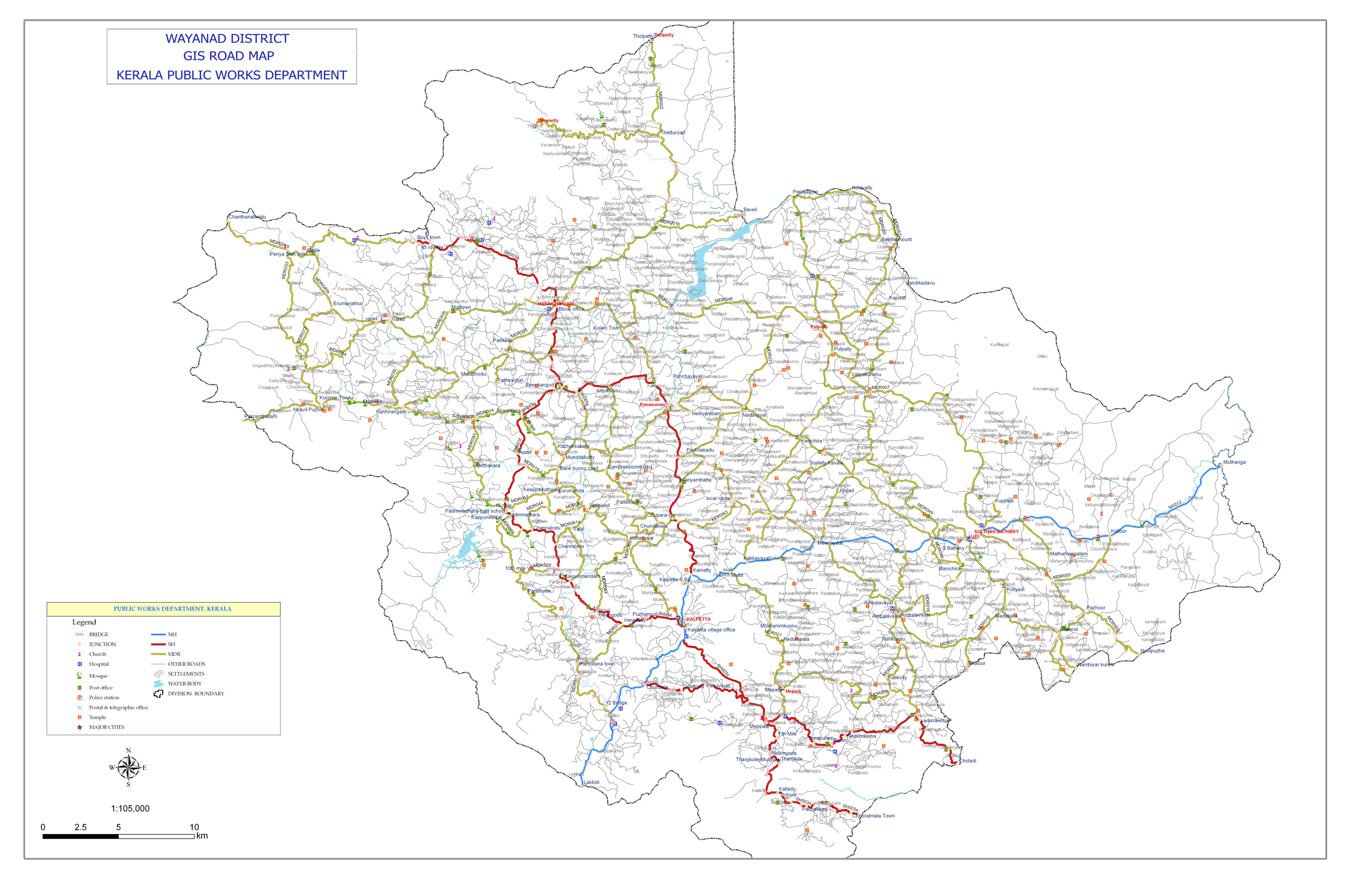
State Highway 29 (SH 29) is a State Highway in Kerala, India that starts at junction of NH 212 at Chundale near Kalpetta and ends in Kerala State Boundary with Tamil Nadu. This highway was originally Kozhikode - Vythiri - State Border and was 97 km long.[1] After the section of the highway from Kozhikode until Chundale became part of NH 212, this highway is now 31.0 km long.
This highway now passes through only Wayanad district.[2]
Route
NH 212 - Chundale - Meppadi - Vaduvanchal - Choladi - State Boundary - Road to Gudalur & Ooty
See also
References
- ↑ "Kerala PWD - State Highways". Kerala State Public Works Department. Retrieved 26 February 2010.
- ↑ "Road map of Wayanad district". Kerala PWD. Retrieved 2014-05-02.
This article is issued from
Wikipedia.
The text is licensed under Creative Commons - Attribution - Sharealike.
Additional terms may apply for the media files.