Karapuzha Dam
| Karapuzha Dam | |
|---|---|
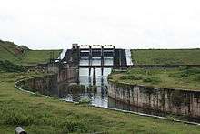 Upstream face of the dam | |
 Location of Karapuzha Dam in India 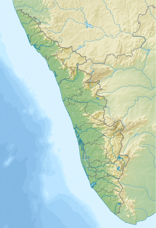 Karapuzha Dam (Kerala)  Karapuzha Dam (Karnataka)  Karapuzha Dam (Tamil Nadu) | |
| Official name | Karapuzha Dam |
| Country | India |
| Location | Wayanad, Kerala |
| Coordinates | 11°37′03.13″N 76°10′19.34″E / 11.6175361°N 76.1720389°ECoordinates: 11°37′03.13″N 76°10′19.34″E / 11.6175361°N 76.1720389°E |
| Purpose | Irrigation |
| Status | Operational |
| Construction began | 1977 |
| Opening date | 2004 |
| Dam and spillways | |
| Type of dam | Embankment, earth-fill |
| Impounds | Karapuzha River |
| Height | 28 m (92 ft) |
| Length | 625 m (2,051 ft) |
| Spillway type | Ogee, radial gate-controlled |
| Spillway capacity | 969 m3/s (34,220 cu ft/s)[1] |
| Reservoir | |
| Total capacity | 76,500,000 m3 (62,020 acre⋅ft) |
| Active capacity | 72,000,000 m3 (58,371 acre⋅ft) |
| Inactive capacity | 4,500,000 m3 (3,648 acre⋅ft) |
| Surface area | 8.55 km2 (3 sq mi) |
| Normal elevation | 763 m (2,503 ft) |
Karapuzha Dam located in the Wayanad district of Kerala, is one of the biggest earth dams in India. Karapuzha Dam is located in the greenish and natural regions of Wayanad, Kerala on the Karapuzha River, a tributary of the Kabini River. Construction on the dam began in 1977 and it was complete in 2004. The purpose of the dam is irrigation and it left and right bank canals are still under construction.[2][3]
Gallery
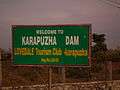 Welcome board
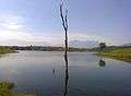 A view of Karapuzha Dam River
 A view of Karapuzha Dam Shutters
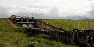 A view of Karapuzha Dam
References
- ↑ "National Register of Large Dams - 2009 (India)" (PDF). Dam Safety Organization of the States. Archived from the original (PDF) on 21 July 2011. Retrieved 11 March 2013.
- ↑ "Water Resources - Karapuzha Irrigation Project". Kerala Government.
- ↑ "KARAPUZHA IRRIGATION PROJECT". Dept. of Irrigation, Kerala Govt.
External links
| Wikimedia Commons has media related to Karapuzha Dam. |
| History of Wayanad | |||||
|---|---|---|---|---|---|
| Cities | |||||
| Transport |
| ||||
| Education in Wayanad |
| ||||
| Visitor attractions | |||||
| Places of worship | |||||
| Other topics | |||||
| |||||
This article is issued from
Wikipedia.
The text is licensed under Creative Commons - Attribution - Sharealike.
Additional terms may apply for the media files.