Charencey, Orne
| Charencey | |
|---|---|
| Commune | |
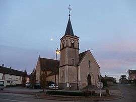 The church in Saint-Maurice-lès-Charencey | |
 Charencey Location within Normandy region  Charencey | |
| Coordinates: 48°39′02″N 0°45′33″E / 48.6506°N 0.7592°ECoordinates: 48°39′02″N 0°45′33″E / 48.6506°N 0.7592°E | |
| Country | France |
| Region | Normandy |
| Department | Orne |
| Arrondissement | Mortagne-au-Perche |
| Canton | Tourouvre |
| Intercommunality | Hauts du Perche |
| Area1 | 45.56 km2 (17.59 sq mi) |
| Population (2015)2 | 821 |
| • Density | 18/km2 (47/sq mi) |
| Time zone | UTC+1 (CET) |
| • Summer (DST) | UTC+2 (CEST) |
| INSEE/Postal code | 61429 /61190 |
|
1 French Land Register data, which excludes lakes, ponds, glaciers > 1 km2 (0.386 sq mi or 247 acres) and river estuaries. 2 Population without double counting: residents of multiple communes (e.g., students and military personnel) only counted once. | |
Charencey is a commune in the department of Orne, northwestern France. The municipality was established on 1 January 2018 by merger of the former communes of Saint-Maurice-lès-Charencey (the seat), Moussonvilliers and Normandel.[1]
See also
References
| Wikimedia Commons has media related to Category:Charencey (Orne). |
- ↑ Arrêté préfectoral 22 September 2017 (in French)
This article is issued from
Wikipedia.
The text is licensed under Creative Commons - Attribution - Sharealike.
Additional terms may apply for the media files.