Sainte-Gauburge-Sainte-Colombe
| Sainte-Gauburge-Sainte-Colombe | |
|---|---|
| Commune | |
 | |
 Sainte-Gauburge-Sainte-Colombe Location within Normandy region  Sainte-Gauburge-Sainte-Colombe | |
| Coordinates: 48°42′55″N 0°25′53″E / 48.7153°N 0.4314°ECoordinates: 48°42′55″N 0°25′53″E / 48.7153°N 0.4314°E | |
| Country | France |
| Region | Normandy |
| Department | Orne |
| Arrondissement | Mortagne-au-Perche |
| Canton | Rai |
| Intercommunality | Vallée de la Risle |
| Government | |
| • Mayor (2008–2014) | Philippe Bigot |
| Area1 | 21.17 km2 (8.17 sq mi) |
| Population (2012)2 | 1,126 |
| • Density | 53/km2 (140/sq mi) |
| Time zone | UTC+1 (CET) |
| • Summer (DST) | UTC+2 (CEST) |
| INSEE/Postal code | 61389 /61370 |
| Elevation |
223–314 m (732–1,030 ft) (avg. 246 m or 807 ft) |
|
1 French Land Register data, which excludes lakes, ponds, glaciers > 1 km2 (0.386 sq mi or 247 acres) and river estuaries. 2 Population without double counting: residents of multiple communes (e.g., students and military personnel) only counted once. | |
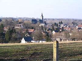
Sainte-Gauburge-Sainte-Colombe is a commune in the Orne department in north-western France.
See also
References
| Wikimedia Commons has media related to Sainte-Gauburge-Sainte-Colombe. |
This article is issued from
Wikipedia.
The text is licensed under Creative Commons - Attribution - Sharealike.
Additional terms may apply for the media files.