List of airports in Guatemala
This is a list of airports in Guatemala, sorted by location.
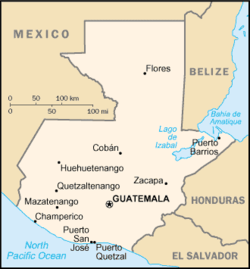
Map of Guatemala
Guatemala, officially the Republic of Guatemala (Spanish: República de Guatemala), is a country in Central America bordered by Mexico to the north and west, the Pacific Ocean to the southwest, Belize to the northeast, the Caribbean to the east, and Honduras and El Salvador to the southeast. Its capital in Guatemala City.
Airports
Names shown in bold indicate the airport has scheduled passenger service on commercial airlines.
Unauthorized Airstrips
There are numerous unauthorized airstrips used to facilitate drug trafficking in the region, with as many as 66 such airstrips in the vicinity of the Maya Biosphere Reserve alone.[1]
See also
- Guatemalan Air Force
- Transportation in Guatemala
- List of airports by ICAO code: M#MG - Guatemala
- Wikipedia: WikiProject Aviation/Airline destination lists: North America#Guatemala
References
- "ICAO Location Indicators by State" (PDF). International Civil Aviation Organization. 2006-01-12.
- "UN Location Codes: Guatemala". UN/LOCODE 2009-2. UNECE. 2010-02-08. - includes IATA codes
- Guatemala Military Air Bases
- Great Circle Mapper: Airports in Guatemala - IATA and ICAO codes
- World Aero Data: Airports in Guatemala - ICAO codes and airport data
- Orta, Charles (May 23, 2017). "A Narco Airstrip in Guatemala Is a Just a Hop Away From a Military Outpost". InSight Crime. Archived from the original on May 27, 2017. Retrieved May 27, 2017.
Similarly, Col. William García, the army press chief, said he was unaware of the runway, but noted that the military had knowledge of the existence of 65 other unauthorized airstrips in the national park, 23 of which have been destroyed by the government.
List of airports in Central America | ||
|---|---|---|
| Sovereign states | ||
This article is issued from Wikipedia. The text is licensed under Creative Commons - Attribution - Sharealike. Additional terms may apply for the media files.