Carmelita Airport
Carmelita Airport (IATA: CMM, ICAO: MGCR) is an airstrip serving Carmelita, a small community in the Maya Biosphere Reserve of Guatemala. A section of the runway also serves as a street in the village.
Carmelita Airport | |||||||||||
|---|---|---|---|---|---|---|---|---|---|---|---|
| Summary | |||||||||||
| Airport type | Public | ||||||||||
| Serves | Carmelita, Guatemala | ||||||||||
| Location | Maya Biosphere Reserve | ||||||||||
| Elevation AMSL | 753 ft / 230 m | ||||||||||
| Coordinates | 17°27′45″N 90°03′10″W | ||||||||||
| Map | |||||||||||
 CMM Location in Petén Department 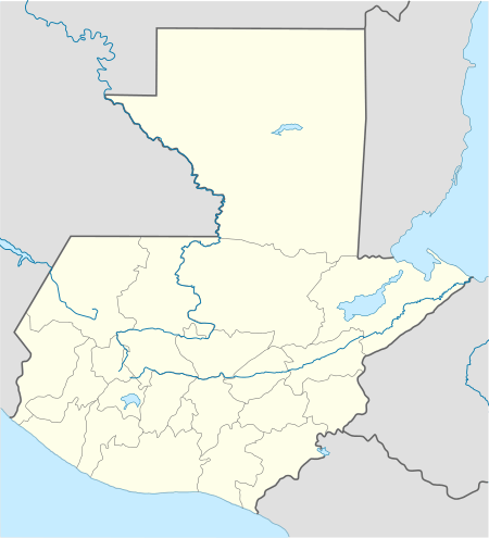 CMM Location in Guatemala | |||||||||||
| Runways | |||||||||||
| |||||||||||
Google Earth Historical Imagery (3/18/2015) shows trees that formerly impinged the runway in a previous image (12/9/2012) have been removed.
The Tikal VOR-DME (Ident: TIK) is located 34.1 nautical miles (63.2 km) south-southeast of the airstrip.[3]
See also

- Transport in Guatemala
- List of airports in Guatemala
References
- Airport information for Carmelita Airport at Great Circle Mapper.
- "Carmelita Airport". Bing Maps. Microsoft. Retrieved 3 September 2018.
- "Tikal VOR". Our Airports. Retrieved 3 September 2018.
External links
- OpenStreetMap - Carmelita Airport
- OurAirports - Carmelita
- Panoramio Aerial Photo
- Accident history for Carmelita Airport at Aviation Safety Network
This article is issued from Wikipedia. The text is licensed under Creative Commons - Attribution - Sharealike. Additional terms may apply for the media files.