Coatepeque, Quetzaltenango
Coatepeque (Spanish pronunciation: [koateˈpeke]) also known as Village of gardenias is a town and municipality in the Quetzaltenango department of Guatemala. According to the 2018 census, the town of Coatepeque had a population of 37,330.[2]
Coatepeque | |
|---|---|
Municipality and town | |
 Flag  Seal | |
 Coatepeque | |
| Coordinates: 14°42′N 91°52′W | |
| Country | |
| Department | |
| Area | |
| • Total | 164 sq mi (426 km2) |
| Elevation | 1,634 ft (498 m) |
| Population (2018 census)[1] | |
| • Total | 105,415 |
| • Density | 640/sq mi (250/km2) |
| Time zone | UTC+6 (Central Time) |
| Climate | Am |
Capabilities
Organizations
People
Events
Sports
Deportivo Coatepeque football club play in the Liga Nacional (the Major National League) of Guatemalan Football. The Serpientes Rojas play their home games in the Israel Barrios Stadium (capacity 24,000, natural grass turf).[3]
| Climate data for Coatepeque | |||||||||||||
|---|---|---|---|---|---|---|---|---|---|---|---|---|---|
| Month | Jan | Feb | Mar | Apr | May | Jun | Jul | Aug | Sep | Oct | Nov | Dec | Year |
| Average high °C (°F) | 30.4 (86.7) |
30.8 (87.4) |
32.3 (90.1) |
32.2 (90.0) |
32.0 (89.6) |
30.6 (87.1) |
31.4 (88.5) |
31.5 (88.7) |
30.9 (87.6) |
30.2 (86.4) |
30.4 (86.7) |
30.1 (86.2) |
31.1 (87.9) |
| Daily mean °C (°F) | 24.0 (75.2) |
24.3 (75.7) |
25.7 (78.3) |
26.2 (79.2) |
26.3 (79.3) |
25.5 (77.9) |
25.9 (78.6) |
26.0 (78.8) |
25.7 (78.3) |
25.0 (77.0) |
24.9 (76.8) |
24.1 (75.4) |
25.3 (77.5) |
| Average low °C (°F) | 17.6 (63.7) |
17.9 (64.2) |
19.1 (66.4) |
20.3 (68.5) |
20.6 (69.1) |
20.5 (68.9) |
20.4 (68.7) |
20.5 (68.9) |
20.5 (68.9) |
19.9 (67.8) |
19.5 (67.1) |
18.2 (64.8) |
19.6 (67.2) |
| Average precipitation mm (inches) | 18 (0.7) |
24 (0.9) |
68 (2.7) |
195 (7.7) |
417 (16.4) |
666 (26.2) |
496 (19.5) |
614 (24.2) |
694 (27.3) |
648 (25.5) |
154 (6.1) |
37 (1.5) |
4,031 (158.7) |
| Source: Climate-Data.org[4] | |||||||||||||
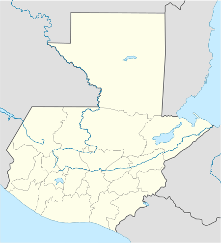
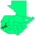
Geographic location
TheCoatepeque urban area has 22 neighborhoods, and its rural area has 15 middle size villages and 25 small size ones.
Places adjacent to Coatepeque, Quetzaltenango | ||||||||||
|---|---|---|---|---|---|---|---|---|---|---|
| ||||||||||
References
- Citypopulation.de Population of departments and municipalities in Guatemala
- Citypopulation.de Population of cities & towns in Guatemala
- Stadiums in Guatemala - World Stadiums
- "Climate: Coatepeque". Climate-Data.org. Retrieved 25 August 2015.
- "Departamento de Quetzaltenango". SEGEPLAN (in Spanish). Guatemala. 7 July 2015. Archived from the original on July 7, 2015.CS1 maint: ref=harv (link)
External links
![]()
This article is issued from Wikipedia. The text is licensed under Creative Commons - Attribution - Sharealike. Additional terms may apply for the media files.