Huehuetenango Airport
Huehuetenango Airport (IATA: HUG, ICAO: MGHT) is an airport serving the city of Huehuetenango, the capital of Huehuetenango Department, Guatemala.
Huehuetenango Airport | |||||||||||
|---|---|---|---|---|---|---|---|---|---|---|---|
| Summary | |||||||||||
| Airport type | Public | ||||||||||
| Serves | Huehuetenango, Guatemala | ||||||||||
| Elevation AMSL | 6,135 ft / 1,870 m | ||||||||||
| Coordinates | 15°19′00″N 91°30′20″W | ||||||||||
| Map | |||||||||||
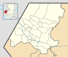 HUG Location in Huehuetenango Department 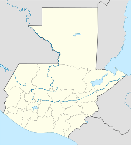 HUG Location in Guatemala | |||||||||||
| Runways | |||||||||||
| |||||||||||
The airport is in the southwestern section of the city, which is in a high elevation basin. There is rising terrain 1.6 kilometres (1 mi) northwest of the runway, with distant mountainous terrain in all quadrants.
The Huehuetenango non-directional beacon (Ident: HUE) is located on the field.[3]
Airlines and destinations
| Airlines | Destinations |
|---|---|
| Aereo Ruta Maya | Guatemala City |
| Transportes Aéreos Guatemaltecos | Guatemala City |
See also


- Transport in Guatemala
- List of airports in Guatemala
References
- Google Maps - Huehuetenango
- Airport information for Huehuetenango Airport at Great Circle Mapper.
- "Huehuetenango Airport". SkyVector. Retrieved 25 August 2018.
External links
This article is issued from Wikipedia. The text is licensed under Creative Commons - Attribution - Sharealike. Additional terms may apply for the media files.