Dankaur
Dankaur is a town and a nagar panchayat in Gautam Buddha Nagar District in the state of Uttar Pradesh, India PIN 203201 .
Dankaur Dron Nagri | |
|---|---|
Town | |
 West entrance of Dankaur
(Drodancharya Nagari) | |
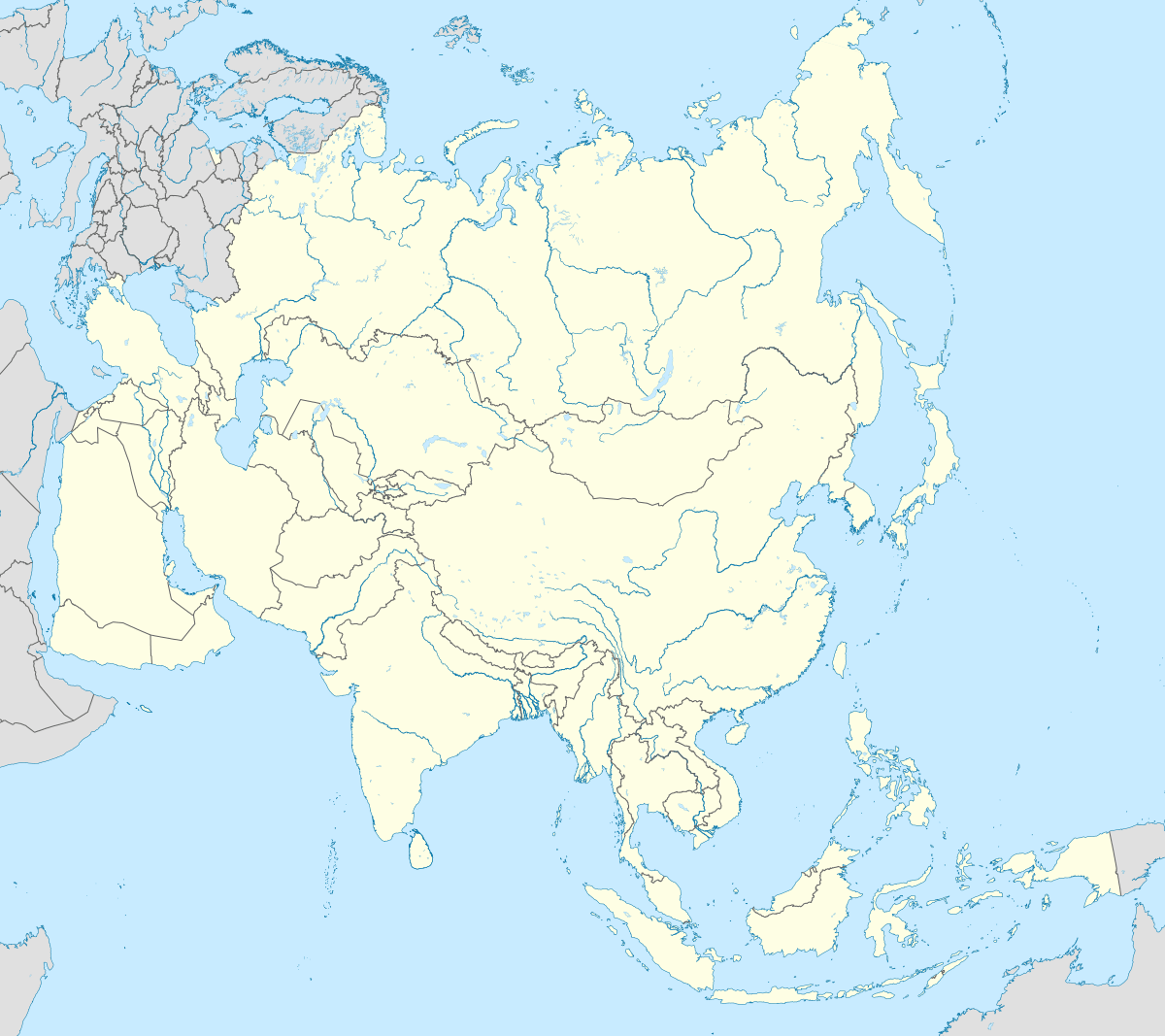
 Dankaur Location in Uttar Pradesh, India  Dankaur Dankaur (India)  Dankaur Dankaur (Asia) | |
| Coordinates: 28.35°N 77.55°E | |
| Country | |
| State | Uttar Pradesh |
| District | Gautam Buddha Nagar |
| Elevation | 194 m (636 ft) |
| Population (2001) | |
| • Total | 11,982 |
| Language | |
| • Official | Hindi[1] |
| • Additional official | Urdu[1] |
| Time zone | UTC+5:30 (IST) |
| Vehicle registration | UP-16 |
Geography
Dankaur is located on 28.35°N 77.55°E.[2] It has an average elevation of 194 metres (636 feet). It is situated approximately 55 kilometres east of Delhi along the bank of river Yamuna. The place is well connected by rail link on Northern Railway on Delhi-Aligarh link.
Demographics
As of 2011 India census,[3] Dankaur had a population of 13,520. Males constitute 54% of the population and females 46%. Dankaur has an average literacy rate of 57%, lower than the national average of 59.5%: male literacy is 67% and, female literacy is 47%.
See also
- Dankaur greater noida
- Dankaur station
- Rampur Bangar
- Rabupura
References
- "52nd REPORT OF THE COMMISSIONER FOR LINGUISTIC MINORITIES IN INDIA" (PDF). nclm.nic.in. Ministry of Minority Affairs. Archived from the original (PDF) on 25 May 2017. Retrieved 4 January 2019.
- Falling Rain Genomics, Inc – Dankaur. Fallingrain.com. Retrieved on 16 May 2012.
- "Census of India 2001: Data from the 2001 Census, including cities, villages and towns (Provisional)". Census Commission of India. Archived from the original on 16 June 2004. Retrieved 1 November 2008.
This article is issued from Wikipedia. The text is licensed under Creative Commons - Attribution - Sharealike. Additional terms may apply for the media files.