Wawota
| Wawota | |
|---|---|
| Town | |
| Town of Wawota | |
 Wawota Location of Wawota in Saskatchewan  Wawota Wawota (Canada) | |
| Coordinates: 49°32′N 102°01′W / 49.54°N 102.01°W | |
| Country | Canada |
| Province | Saskatchewan |
| Region | South-eastern |
| Census division | 1 |
| Rural Municipality | Walpole |
| Post office Founded | 1884-09-01 |
| Government | |
| • Mayor | Neil Birnie |
| • Governing body | Wawota Town Council |
| • MP | Robert Kitchen |
| • MLA | Dan D'Autremont |
| Area | |
| • Total | 1.24 km2 (0.48 sq mi) |
| Population (2011)[1] | |
| • Total | 543 |
| • Density | 437.9/km2 (1,134/sq mi) |
| Time zone | CST |
| Postal code | S0G 5A0 |
| Area code(s) | 306 |
| Highways | Highway 603 |
| Website |
wawota |
| [2][3] | |
Wawota is a town of 543 people, located along Highway 48 in southeastern Saskatchewan, Canada. Established in 1905, its name is from Dakota "wa ota", which means "lots of snow". Wa means 'snow', oda or ota means 'lots'. It is sometimes mistakenly said to mean 'deep snow'.
History
The town's motto, "Progress Through Perseverance", is fitting, as Wawota has made a concerted effort in the last few decades to remain a vibrant community for people of all ages, despite the ongoing challenges faced by nearly all rural towns in the province. The loss of the local railway, the so-called Peanut Line, in August, 1961 is often cited as a galvanizing moment for the community, and the dawn of the town's progressive spirit.
Regionally, Wawota is perhaps best known for its long history of successful sports teams, most notably in hockey and baseball, as well as its unusual collection of fire hydrants, painted to resemble various people and cartoon characters. Wawota is also noteworthy as the 'twin capital', due to the large number of twin births recorded in the community, particularly throughout the 1970s and early 1980s.
Notable residents
NHL player Brooks Laich of the Los Angeles Kings.
References
- ↑ "2011 Community Profiles". Statistics Canada. Government of Canada. Retrieved 2014-08-21.
- ↑ National Archives, Archivia Net. "Post Offices and Postmasters". Retrieved 2014-08-21.
- ↑ Government of Saskatchewan, MRD Home. "Municipal Directory System". Retrieved 2014-08-21.
External links
| Cities | 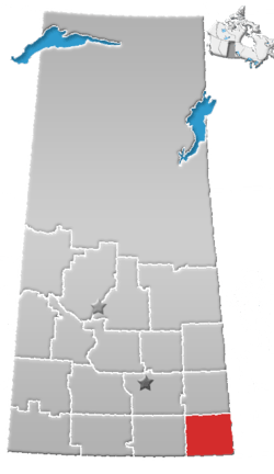 | ||||
|---|---|---|---|---|---|
| Towns | |||||
| Villages | |||||
| Rural municipalities | |||||
| First Nations | |||||
| Indian reserves | |||||
| Unincorporated communities |
| ||||