Frankland Group National Park
| Frankland Group National Park Queensland | |
|---|---|
|
IUCN category II (national park) | |
 Frankland Group National Park | |
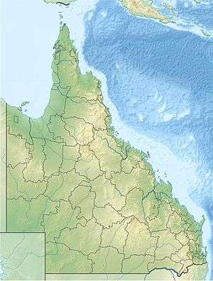
| Coordinates | 17°09′49″S 146°00′42″E / 17.16361°S 146.01167°ECoordinates: 17°09′49″S 146°00′42″E / 17.16361°S 146.01167°E |
| Established | 1994 |
| Area | 77 ha (190.3 acres) |
| Managing authorities | Queensland Parks and Wildlife Service |
| Website | Frankland Group National Park |
| See also | Protected areas of Queensland |
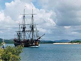
Frankland Group is a national park in Queensland, Australia, 1353 km northwest of Brisbane. The five continental islands of the Frankland Group are High Island, Normanby Island, Mabel Island, Round Island and Russell Island, which lie about 10 km offshore, and are about 45 km south east of Cairns.[1] They are the traditional home of the Mandingalbay Yidinji, and the Gungandji Aboriginal peoples.[2] On 9 June 1770, on the First voyage of James Cook, Cook named the island group after Admiral Sir Thomas Frankland, 5th Baronet (1718 – 1784).
See also
References
- ↑ "About The Franklands". The State of Queensland (Department of National Parks, Recreation, Sport and Racing). Retrieved 21 December 2012.
- ↑ "Frankland Group National Park". The State of Queensland (Department of National Parks, Recreation, Sport and Racing). Retrieved 21 December 2012.
This article is issued from
Wikipedia.
The text is licensed under Creative Commons - Attribution - Sharealike.
Additional terms may apply for the media files.