Alberta Highway 560
| ||||
|---|---|---|---|---|
| Glenmore Trail, Township Road 234 | ||||
 | ||||
| Route information | ||||
| Maintained by Alberta Transportation | ||||
| Length | 16.3 km (10.1 mi) | |||
| Major junctions | ||||
| West end | Calgary city limits | |||
|
| ||||
| East end |
| |||
| Location | ||||
| Specialized and rural municipalities | Rocky View County | |||
| Major cities | Calgary | |||
| Highway system | ||||
|
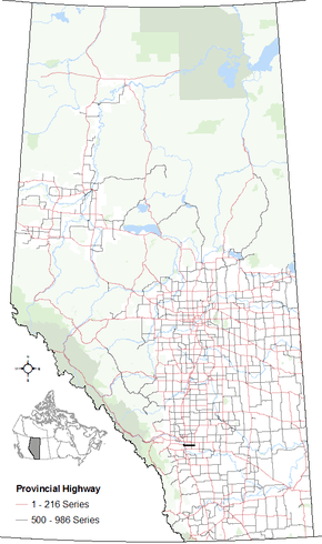
Provincial highways in Alberta
| ||||

Alberta Provincial Highway No. 560, commonly referred to as Highway 560 or Glenmore Trail, is a highway in the province of Alberta, Canada. It runs west–east from the east Calgary boundary at 84 Street SE (Range Road 290), north along the city boundary to Range Road 284, across Highway 791 south of Chestermere to the southern terminus of the northern section of Highway 797, Centre Street in Langdon.[1]
It is named Glenmore Trail within Calgary city limits. Highway 560 extends to the west in an interchange with the freeways of Hwy 2 and Highway 8. It extends to the east as Township Road 234 to Highway 24, and Highway 817.[1]
Major intersections
Starting from the west end of Highway 560:
| Rural/specialized municipality | Location | km[1] | mi | Destinations | Notes |
|---|---|---|---|---|---|
| City of Calgary | −0.7 | −0.43 | |||
| Interchange (Hwy 201 Exit 88) | |||||
| 0.0 | 0.0 | Calgary city limits | Hwy 560 western terminus | ||
| Rocky View County | | 1.7 | 1.1 | 100 Street SE (Range Road 285) | |
| 9.8 | 6.1 | ||||
| Langdon | 16.3 | 10.1 | Hwy 560 eastern terminus | ||
| Wheatland County | | 26.1 | 16.2 | ||
| 35.9 | 22.3 | ||||
1.000 mi = 1.609 km; 1.000 km = 0.621 mi
| |||||
See also
Route map:
References
- 1 2 3 Google (November 4, 2016). "Highway 560 in Alberta" (Map). Google Maps. Google. Retrieved November 4, 2016.
This article is issued from
Wikipedia.
The text is licensed under Creative Commons - Attribution - Sharealike.
Additional terms may apply for the media files.