Alberta Highway 37
| ||||
|---|---|---|---|---|
 | ||||
| Route information | ||||
| Maintained by Alberta Transportation | ||||
| Length | 67.4 km[1] (41.9 mi) | |||
| Major junctions | ||||
| West end |
| |||
|
| ||||
| East end |
| |||
| Location | ||||
| Specialized and rural municipalities | Lac Ste. Anne County, Sturgeon County | |||
| Major cities | Edmonton | |||
| Towns | Onoway | |||
| Highway system | ||||
|
Provincial highways in Alberta
| ||||

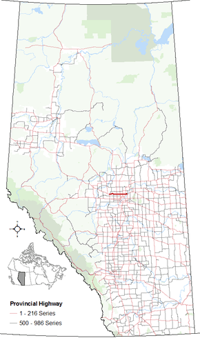
Alberta Provincial Highway No. 37 is a highway in the province of Alberta, Canada. It runs in an east–west direction just north of St. Albert and Edmonton, from west of Onoway to west of Fort Saskatchewan.
Starting in the west, Highway 37 begins 3.4 km (2.1 mi) west of Onoway (nicknamed Hub of the Highways) where it leaves Highway 43 and parallels it east for 1 mile (1.6 km) before Highway 43 turns south. It continues for most of its length on Township Road 550, a correction line, except for avoiding the Sturgeon River and crossing it twice.[2]
North of Edmonton, from Range Road 241 (50 Street NW) to Range Road 232 (33 Street NE), it is given the designation 259 Avenue. However, it does not enter city limits, as the city's boundary is on the south side of the right of way.[1] Highway 37 ends northeast of Edmonton just short of Fort Saskatchewan when it intersects with Highway 15.[2]
Major intersections
Starting at the west end of Highway 37:
References
- 1 2 "2015 Provincial Highway 1-216 Progress Chart" (PDF). Alberta Transportation. March 2015. Archived (PDF) from the original on April 10, 2016. Retrieved October 12, 2016.
- 1 2 3 Google (January 31, 2018). "Highway 37 in Alberta" (Map). Google Maps. Google. Retrieved January 31, 2018.